The western trailhead is considered the start of the Loyalsock Trail. It is on PA Route 87, a road running from the large town of Montoursville to the middle-sized town of Dushore through the small town of Forksville. This is basically the same course which the trail and the Loyalsock Creek meander along.
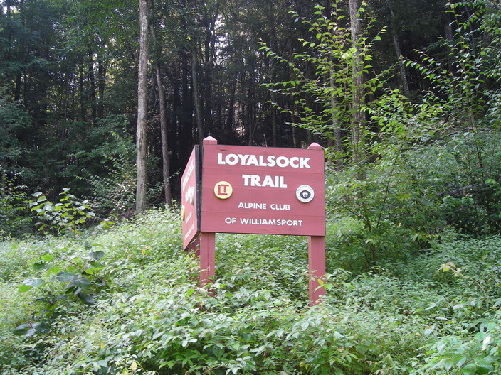
This sign tells you that you've reached the trailhead. Finding the place would be difficult without it. The bank looks like any other hillside. There's only a gravel pulloff for parking.
The trail starts off running up a steep bank.
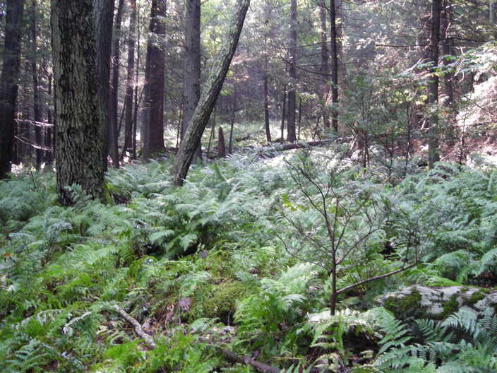
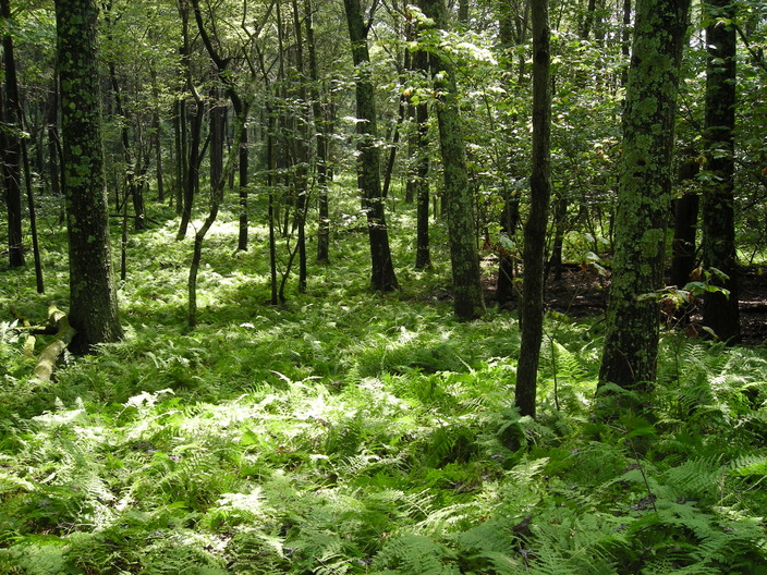
Soon it enters the forest, which is sparse, probably because the ground is rocky underneath these ferns.
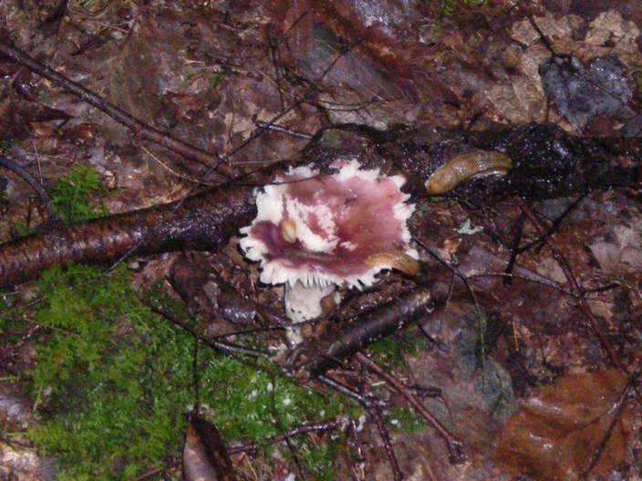
You can tell it's been a wet week when you find slugs crawling over mushrooms.
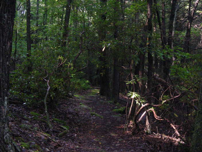
The undergrowth was denser in a few places.
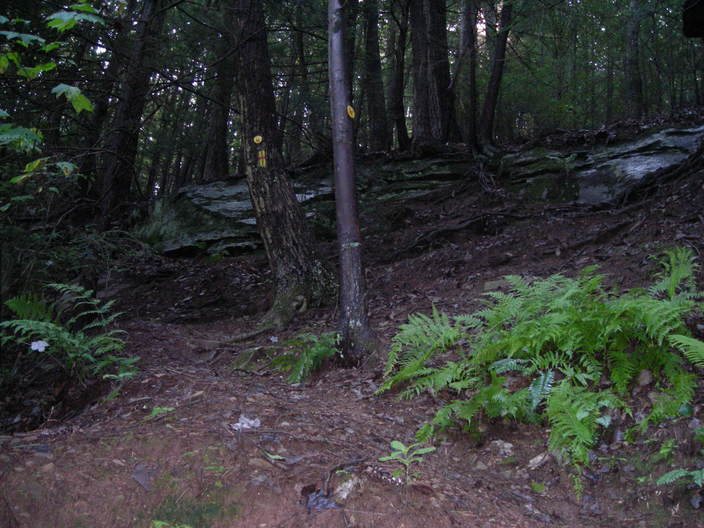
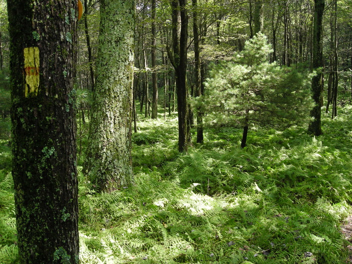
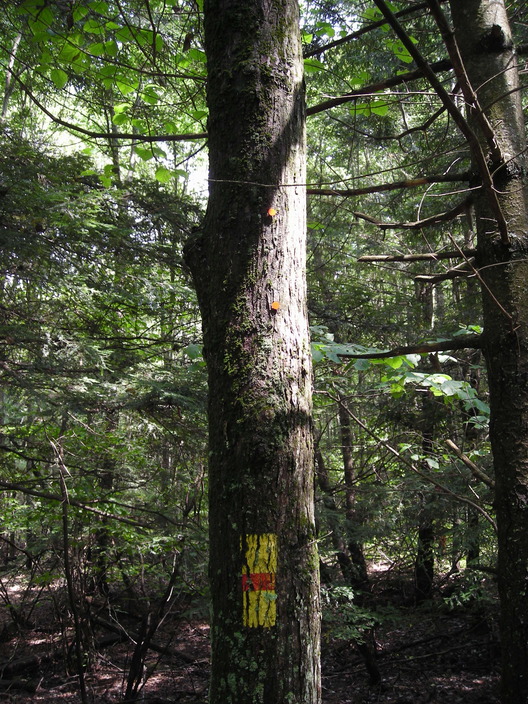
This part of the trail is well blazed, because no one would expect there to be a trail on such a steep rocky slope.
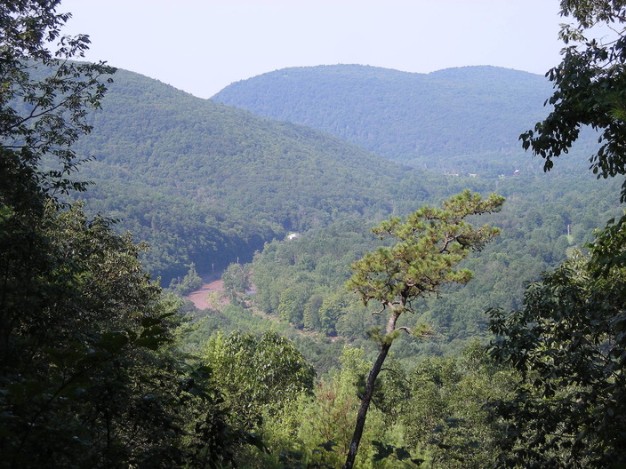
After a few scrambles like that, I reached a turn with a view of the Loyalsock Creek valley. There was a flood going on, due to all the recent rain.

Sock Rock is the first landmark distinguished by having its own sign.
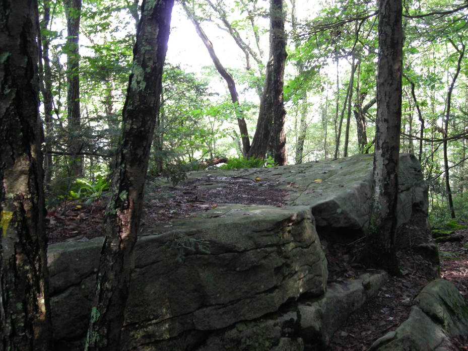
Sock Rock itself is... just a big rock. It's not very different from all the small rocks you've climbed over to reach it.
Shortly after Sock Rock, the grade becomes less steep. I would not recommend hiking this first section in the rain. The rocks get very slippery, even when they do not appear wet.
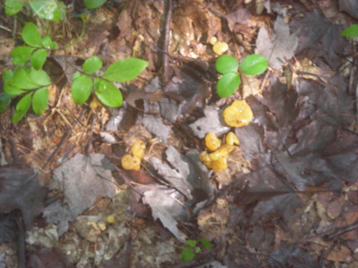
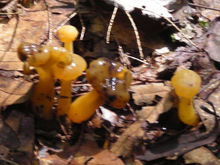
The rain was great for mushrooms, like these orange jellies.
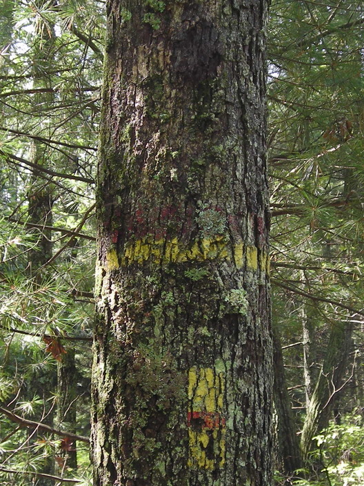
This tree was previously a mile marker. The markers can get moved when the trail is remeasured or rerouted.
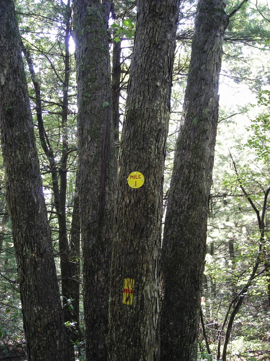
A few steps further on is the current Mile 1.
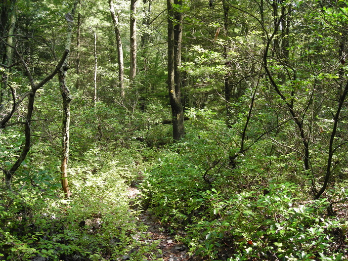
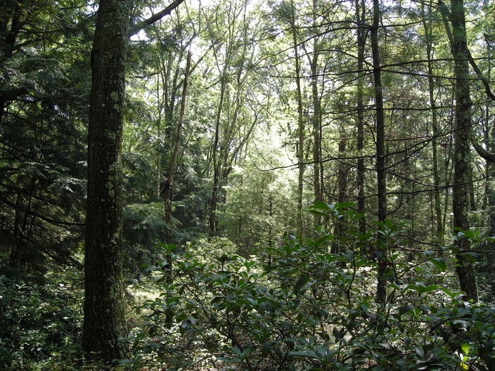
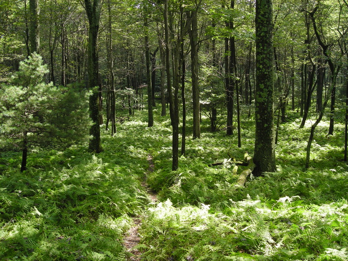
The forest seemed more varied in this area.
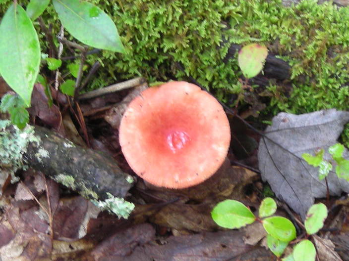
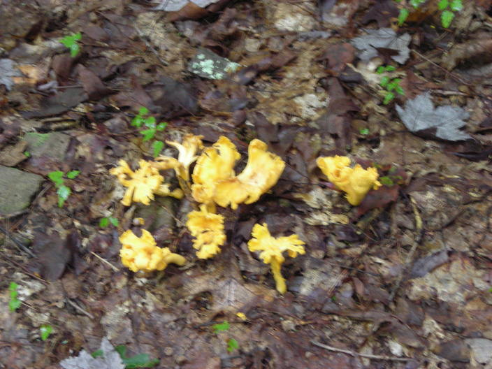
There were still plenty of mushrooms. This was one of the better specimens.
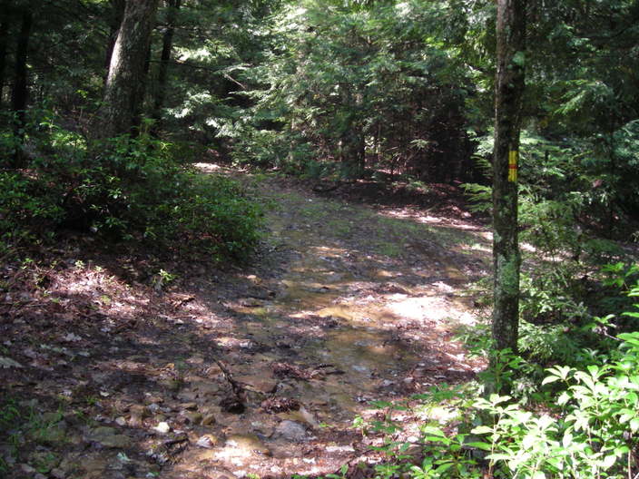
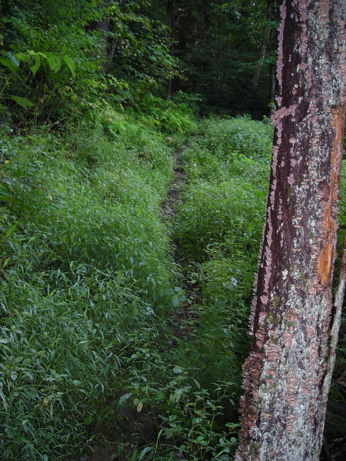
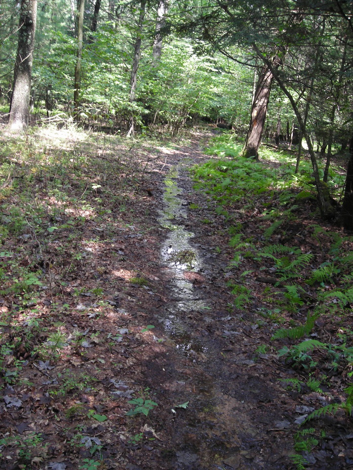
Ordinarily, the trail runs along an old road. Today it runs in this creek. It is also permitted to ride horses in this creek.
Off to the side of the creek is this swampy ground.

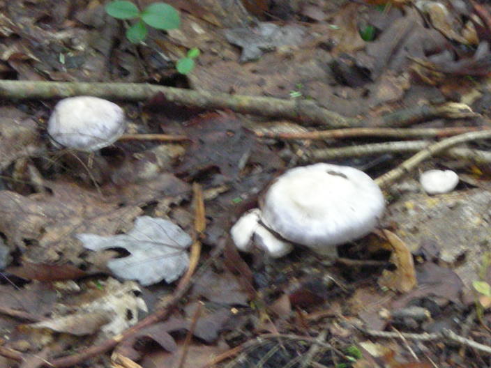
Mushrooms everywhere! I wish I knew enough to identify some of them. I should probably remember to switch my camera settings to close-up too.
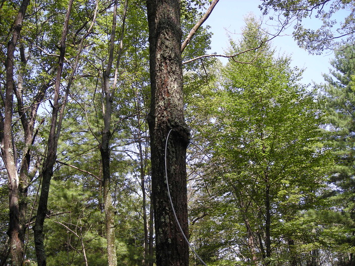
The trail leaves the old logging road and heads toward the ridge. For some reason there is a cable attached to a tree here.
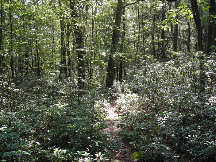
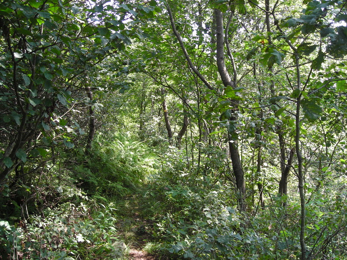
This section of the trail is just a footpath, narrow and more overgrown.
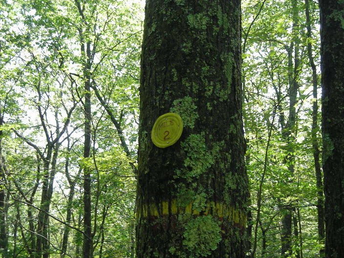
Not far along this path is Mile 2.
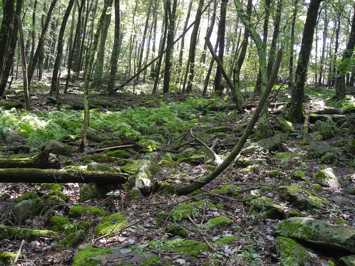
The field of stones is a frequent terrain type in Pennsylvania. It often appears when approaching the top of a ridge, like here.
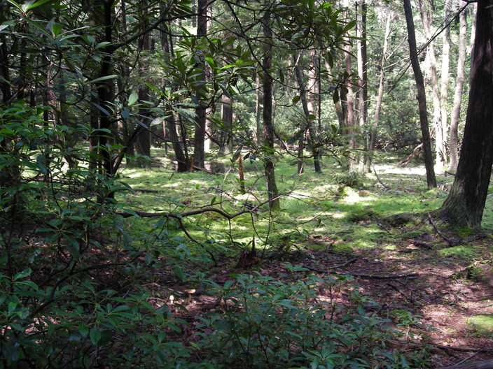
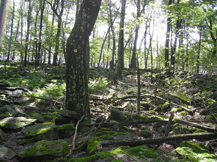
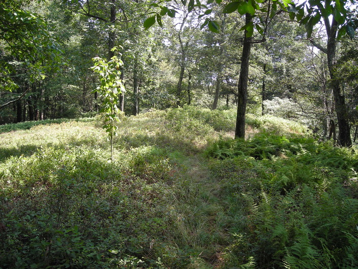
We made it to the ridgetop. Notice the ground sloping down on both sides. It's not a scenic hilltop, because trees are blocking the view in all directions. But the ferns are nice.
The trail turns left along the ridge. To the north is the Loyalsock basin that we just climbed out of. To the south is the plain of the West Branch of the Susquehanna River. That would be a great view if there were a break in the trees.
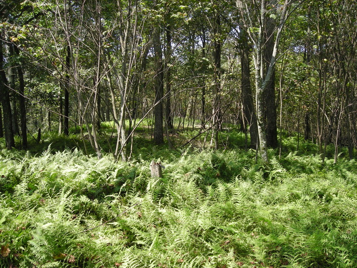
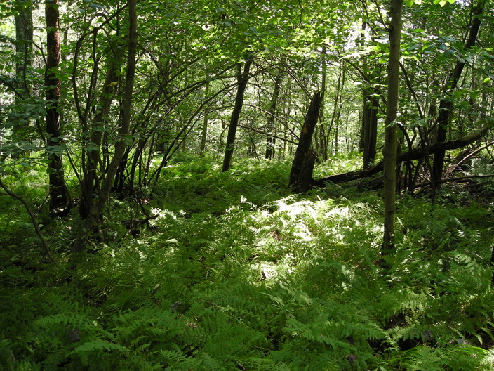
This is a sea of ferns. They are covering the ground as thick as grass as far as the eye can see. I can't quite capture it with this camera, any more than I can capture their faint stale odor.
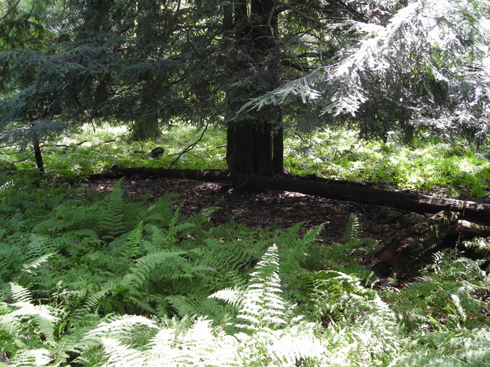
The hemlock is a dark island in the sea of ferns, a cool shadow within the warmth of fern-reflected sunlight.

After the sea of ferns, the ridge rises some more, and the south slope turns into a cliff.
I think this was the highest point on the ridge. Up here in the sunlight, there's more grass and shrubs.
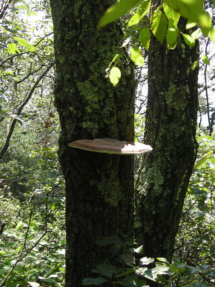
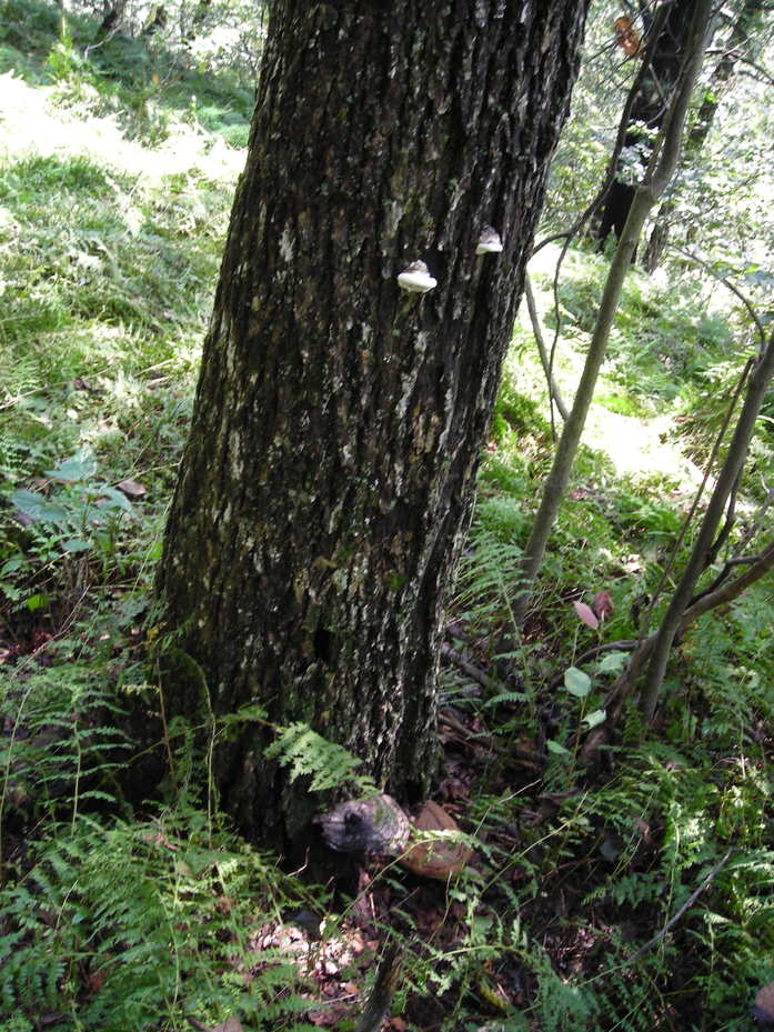
I came across a particularly large fungus at the edge.
The trail then gets even narrower, more overgrown, and closer to the edge. Don't hike this segment in the dark.
This tree is no longer the mile marker, but one of its can lids has not been removed.
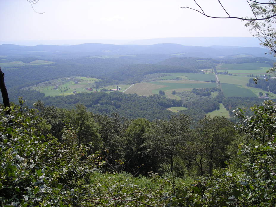
Finally, a break in the trees that gives a view of the valley! The river lies behind all the rolling hills, in front of the long hazy ridge, which is about ten miles away.
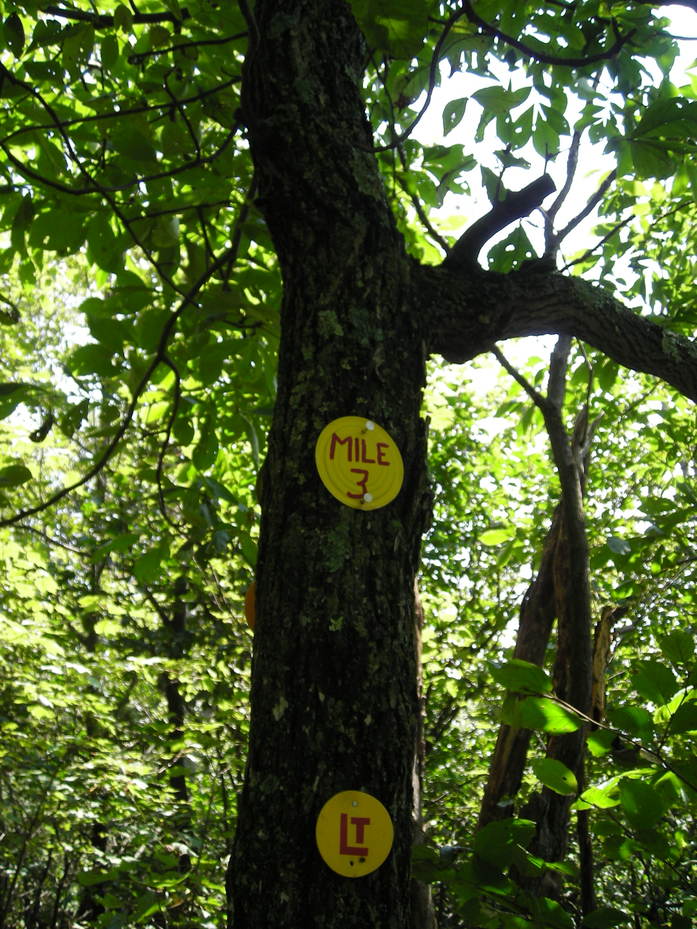
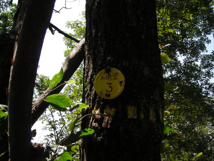
The current Mile 3 marker. Many Loyalsock Trail veterans have suspected that these markers are not in fact evenly spaced. I would not be surprised if the distance between Mile 2 and Mile 3 were slightly longer than a mile.
Is this two different kinds of mushrooms on one tree? Or are the small white ones just an earlier phase of the life cycle? I need to find a mushroom field guide.
The ridge gets lower, and there are more ferns. It doesn't feel like another sea of them. Maybe a lake.
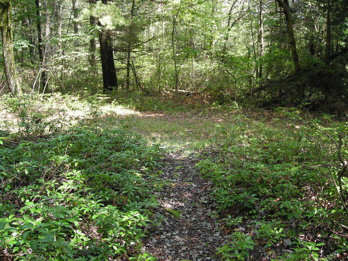
This section of path ends, and the trail makes a right turn onto the forest road.
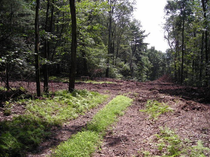
What's going on here?
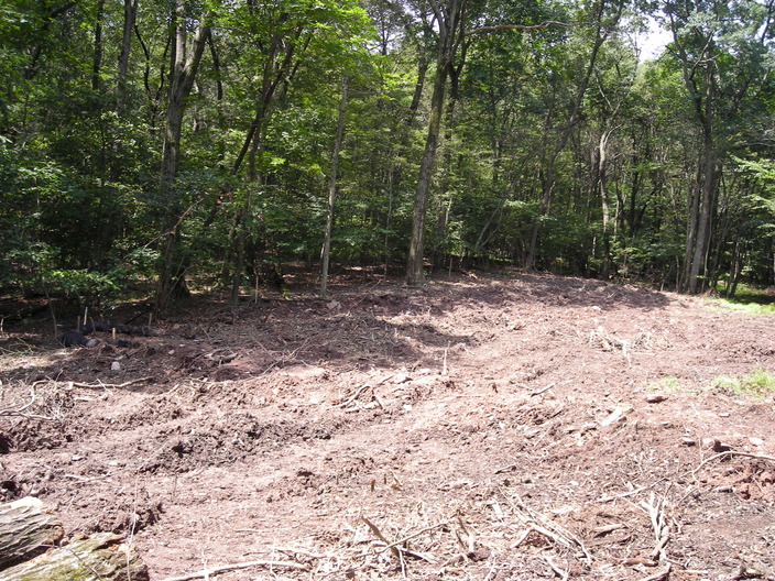
The ground has been torn up, all plant life removed and shredded.
At first, I thought it was some kind of logging operation. A few weeks later, I heard that it was "temporary pipeline construction".
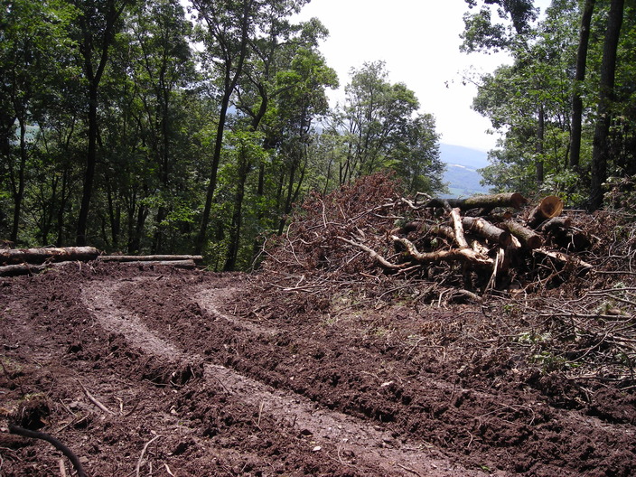
All this chaos made it difficult to see where the trail was.
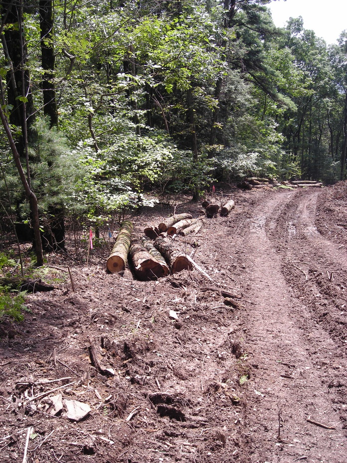
Finally I spotted something I recognized.
If you are headed eastward like me, when you come to the cut, go left, not straight. Keep an eye out for the Loyalsock Trail on the left side of the way. If you are hiking east to west, turn right when you come to the cut. When it turns left, take the trail to the right.
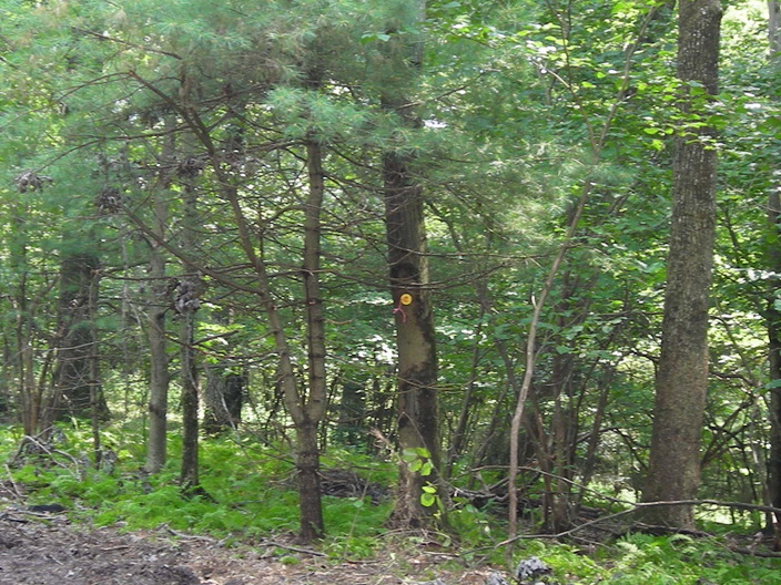
Someone's trying to hide... Can you see through the camoflage?
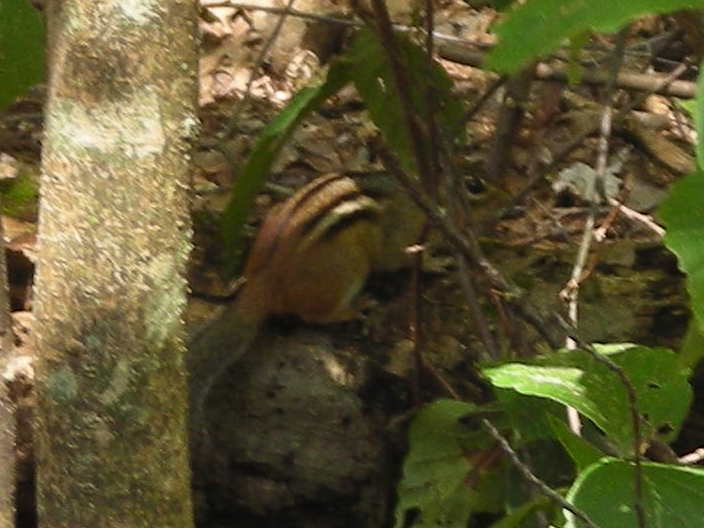
I managed to get one clear shot before it scampered away.
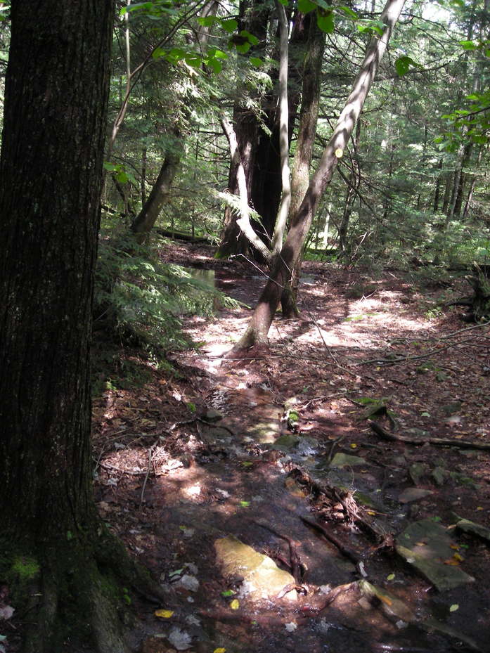
The trail now heads north and downhill. It's not a pipeline construction zone any more, but it is a creek again.
This is not another kind of brightly colored fungus. Someone has stuck red thumbtacks into this tree. I wonder why?
Obviously as a warning that the trail gets wet up ahead.
It was wet enough for jelly mushrooms.
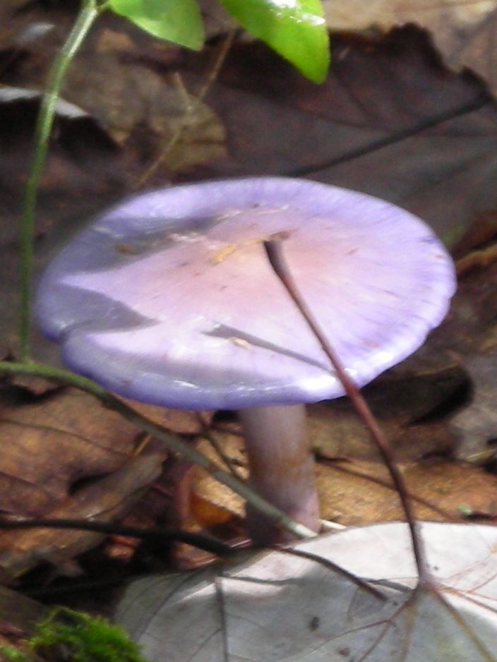
It was even wet enough for shiny purple mushrooms like this.
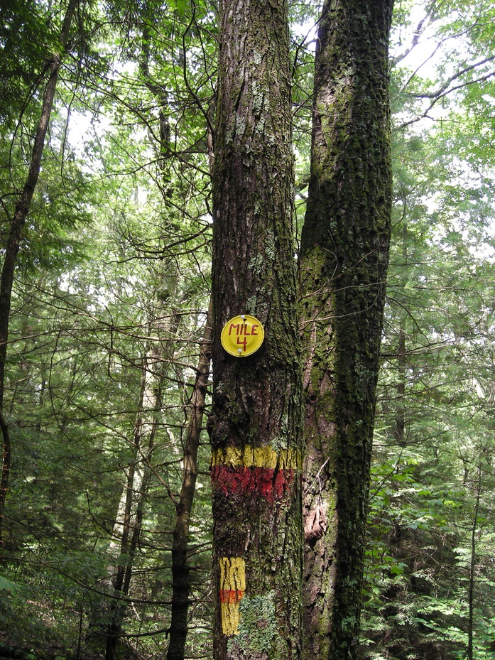
A little further down the creek is the next mile marker. This mile felt a little short, in both directions.
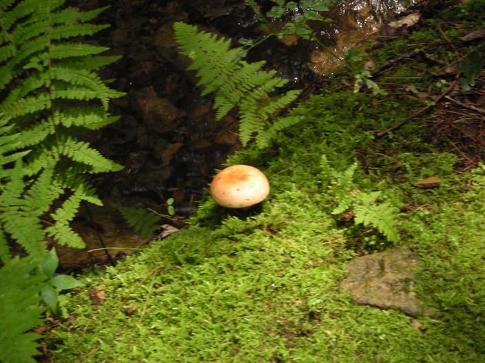
Just beyond Mile 4, I took one last mushroom picture.
This is where I turned around. I'll explore the next section some other day, hopefully a drier one.
Total sightings: 6 millipedes, 0 bears, 0 humans.