This hike started at the same marker where the last one ended.
Leaves had begun to fall. The ones still on the trees were mostly green, with few colors to be seen.
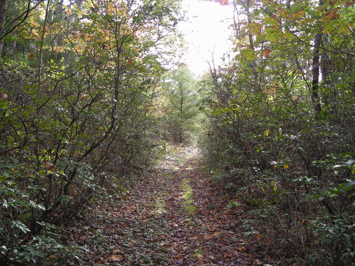
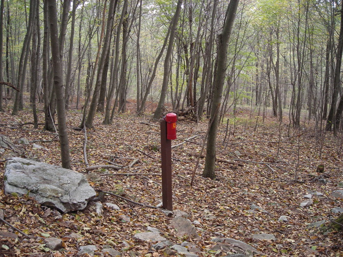
The trail is running up a shallow hill, which the map calls Red Ridge. This area makes a good habitat for mountain laurel.
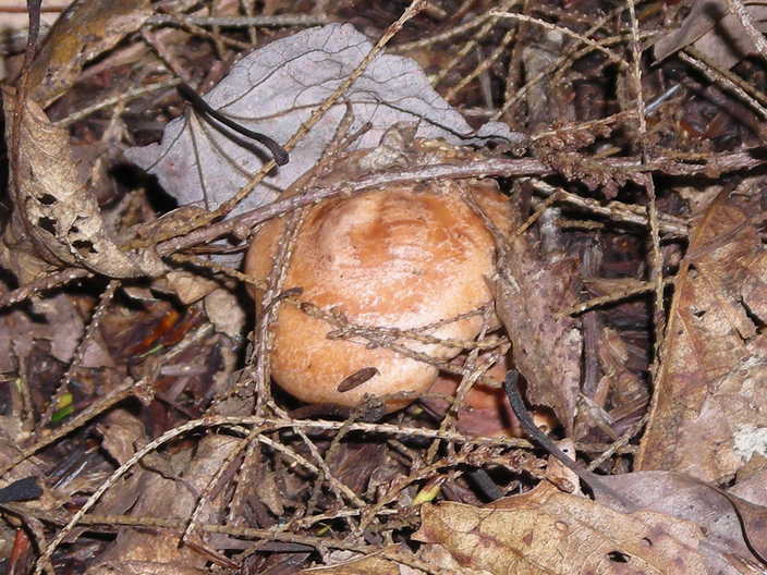
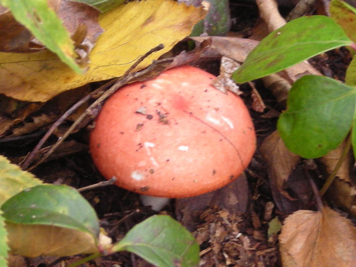
There were still a few mushrooms to be found.
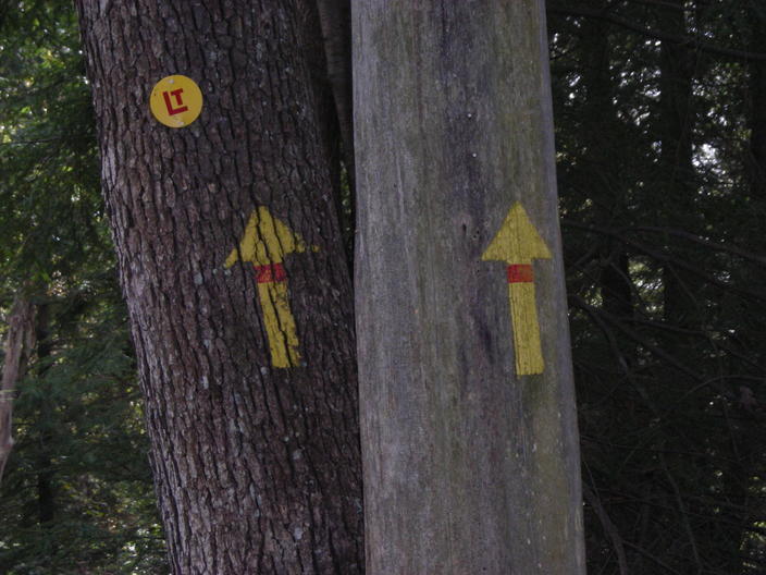
This can't mean the trail goes straight up into the treetops.
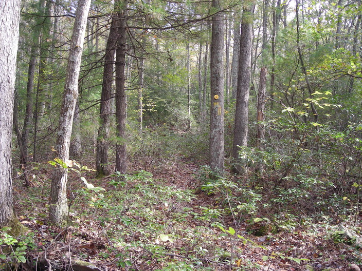
No, it means to go straight ahead, instead of taking the fork to the right.
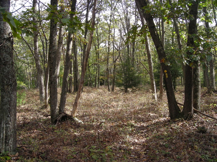
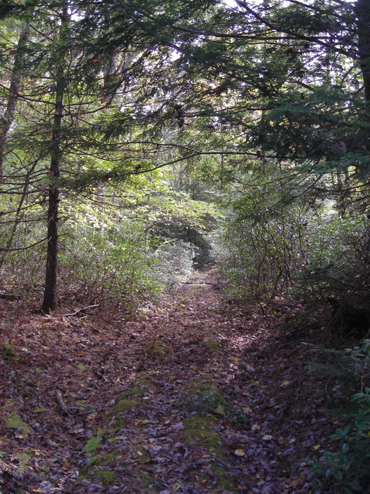
In some places, the forest is mostly free from undergrowth.
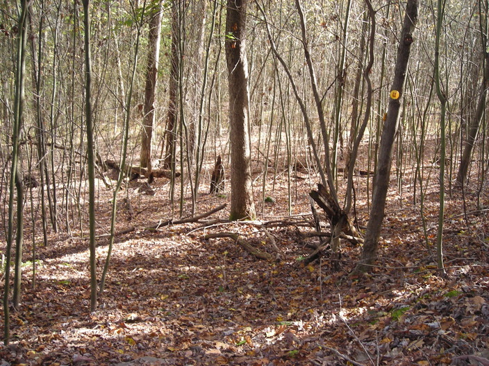
And in some places, it is all undergrowth. Maybe I should read something about forest demographics.
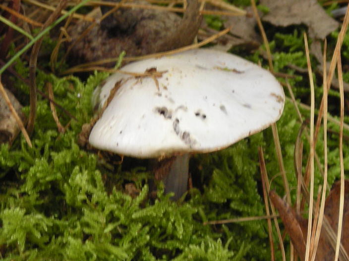
Look, another mushroom, generic-looking and a little old.
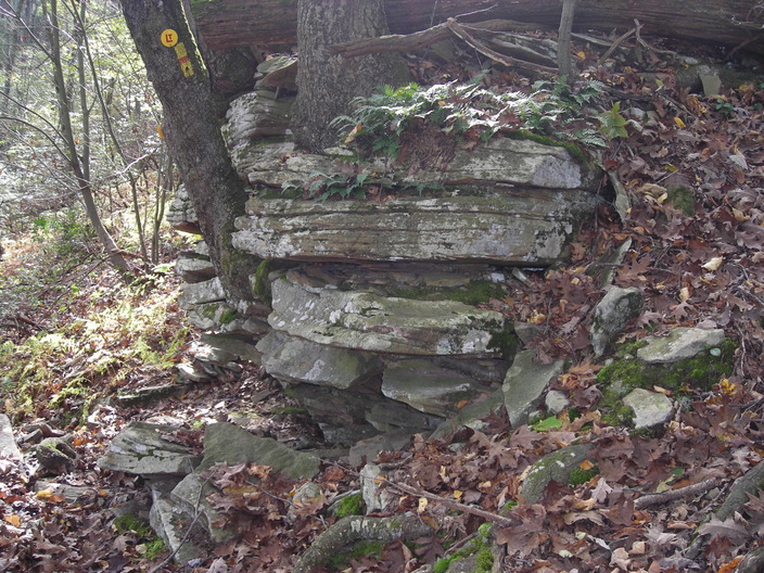
The trail goes slightly downhill for about half a mile, passing this outcrop on the way.
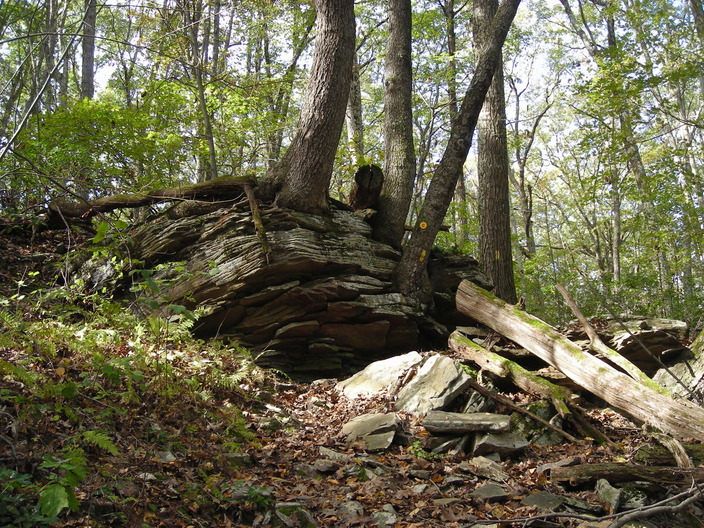
Here's a view of the outcrop from the other side.
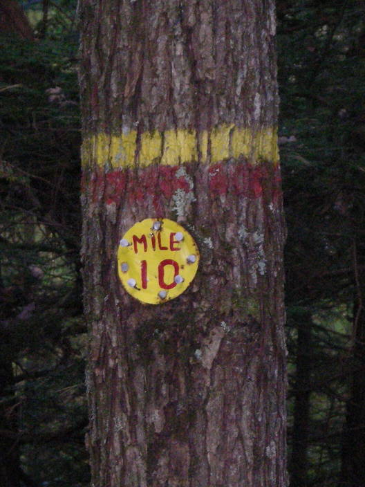
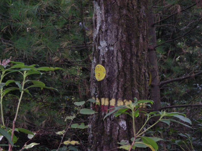
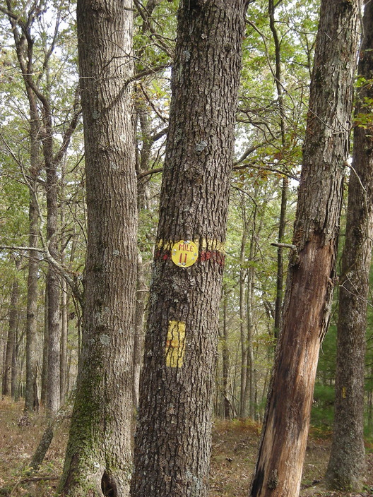
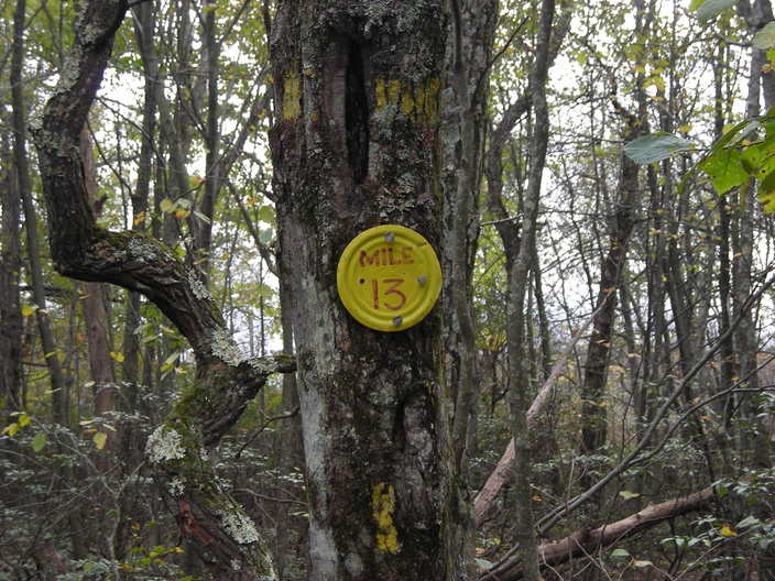
Double digits at last!
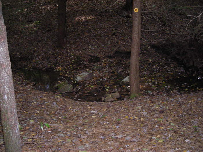
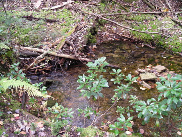
At the bottom of the hill is this little stream. The Trail Guide calls it a branch of Snake Run.
On the other side, the Loyalsock Trail enters this riding path.
The path was once called Old Barbours Road. It runs uphill, because you always have to scramble uphill after a creek crossing.
Old Barbours Road fails to climb steeply enough, so the Loyalsock Trail cuts off a corner. This is probably the steepest section of the day's hike.
Back on the road, the hilltop approaches.
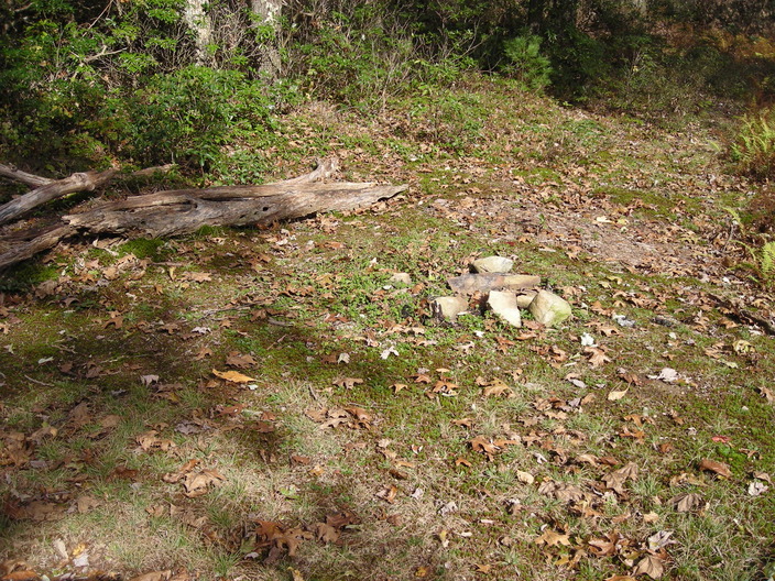
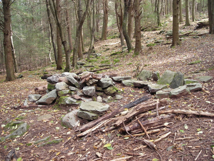
Is this a campfire site, at the top of the hill?
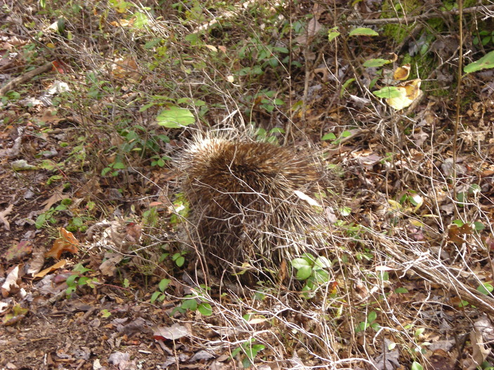
A few minutes later, I almost stumbled over this.
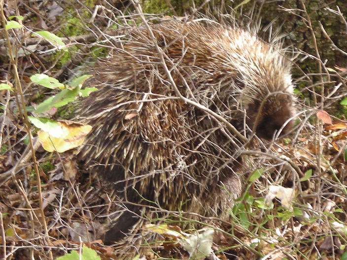
The porcupine watched me suspiciously. Eventually it moved over and let me pass.
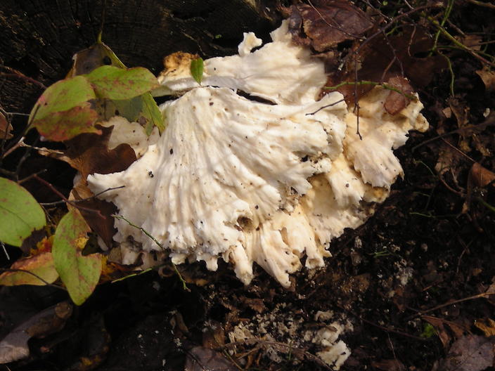
These polypores would have been more impressive a few days earlier, like most of the fungus I found on this hike.
Except this one. Sometimes your only perfectly focused shot of the day coincides with the only perfect subject.
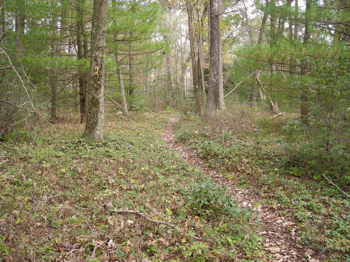
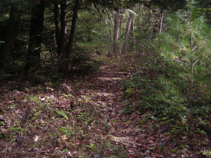
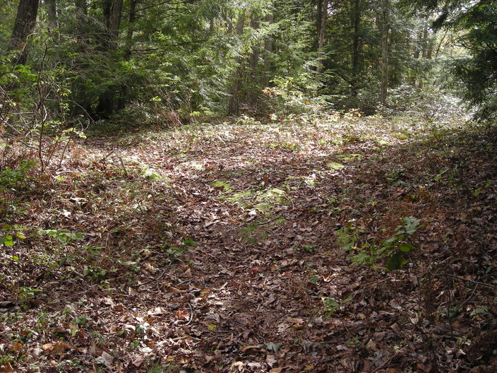
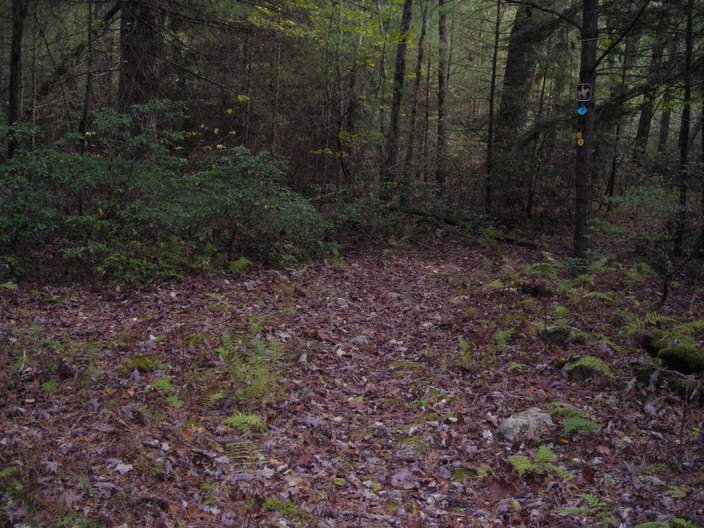
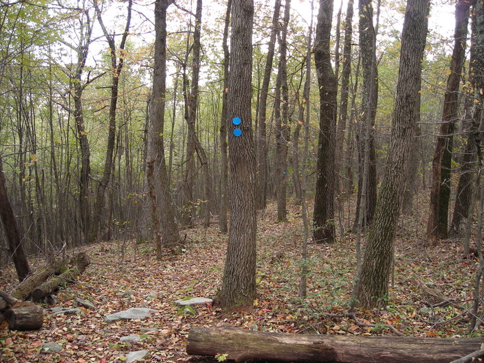
Around here, the forest is mostly open, and the ground is close to level.
One more mile marker.
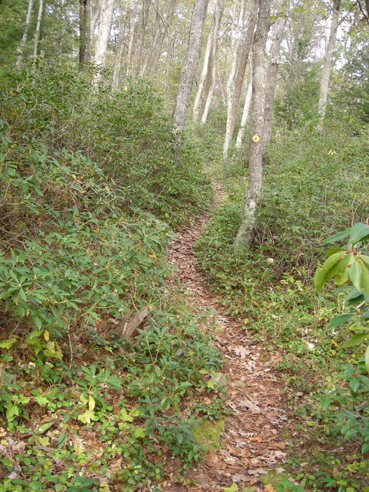
Here is another patch of mountain laurel.

Shingle Run is a pleasant creek, chattering over the rocks.
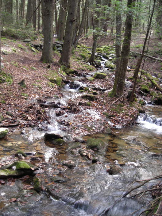
Here's another shot, looking upstream from the trail crossing.
This construction is just on the other side.
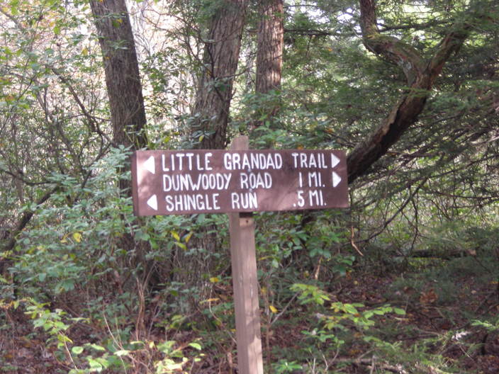
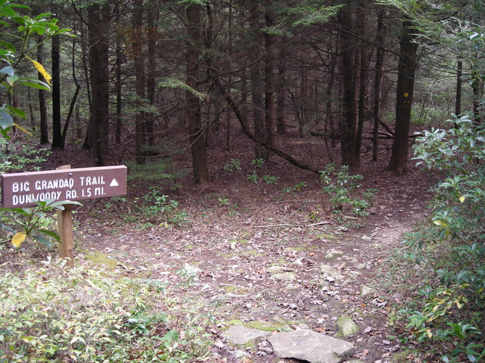
About fifteen uneventful minutes later, I came to this sign at a junction. For some reason, the trails in this area are better organized. There weren't any signs like this near Sock Rock.
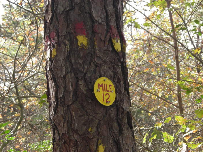
I have covered twelve miles, one fifth of the Loyalsock Trail.
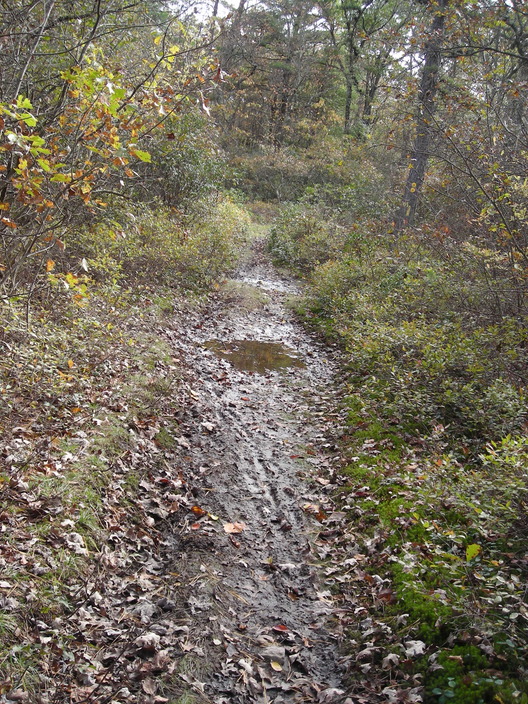
This part of the trail was wet and muddy. The mountain bikers had not improved its condition.
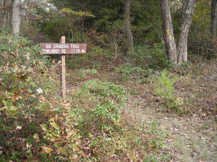
Big Grandad Trail, like the little one, heads east to a road near the edge of Loyalsock State Forest. The Loyalsock Trail runs along it for a short distance.
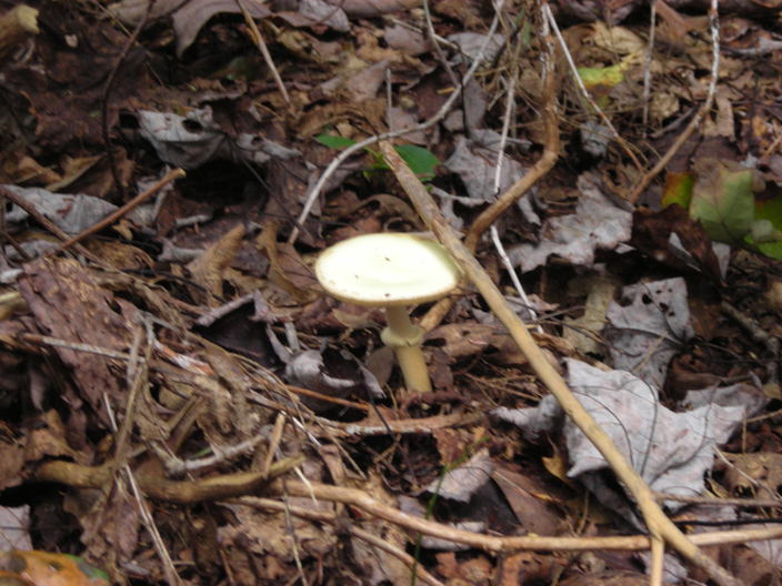
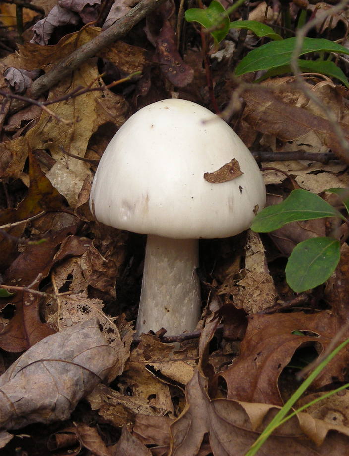
I found another mushroom in good condition.
This is where the Loyalsock Trail leaves the Grandad Trail and starts to climb over Long Ridge.
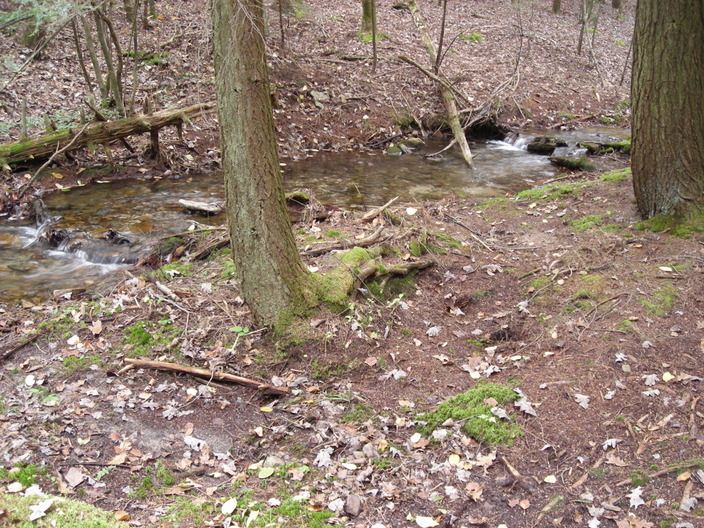
This is Grandad Run, which gives its name to the trails.
I took this picture while crossing. Just downstream from here was a spot with a lot of fungus. Unfortunately the picture I took did not turn out.
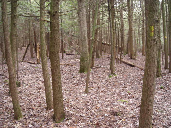
On the other bank is this forest of mostly pine. There is no undergrowth of any kind to be found, which is rare.
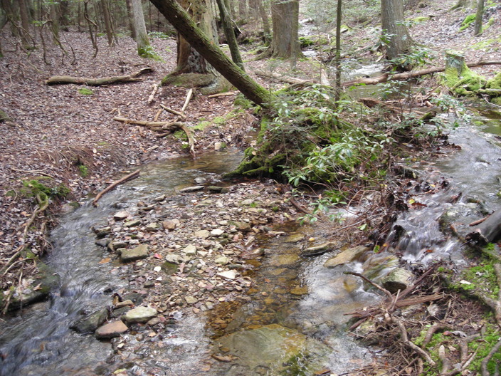
A trickle of water runs into the creek, making this little pool.
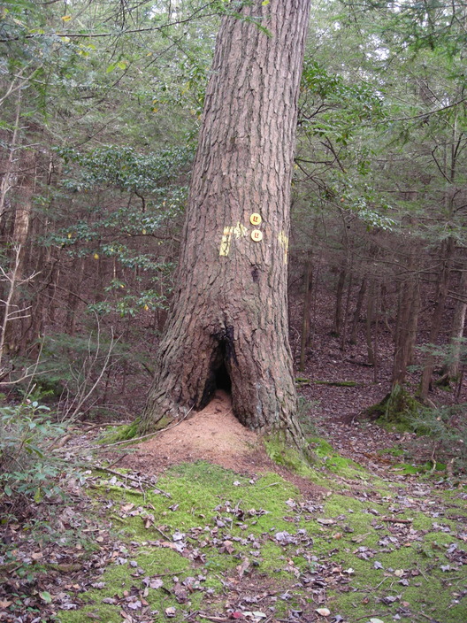
The trail makes a turn at this hollow tree.
My lucky number at last!
Here is one last red mushroom picture.
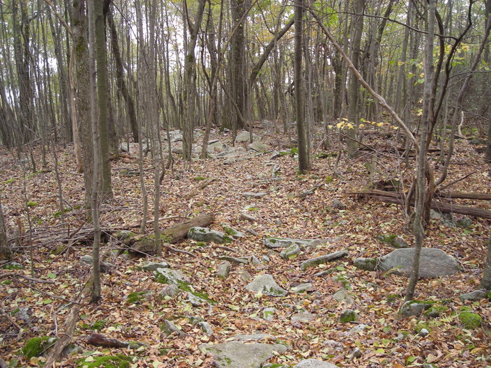
The trail is crossing over the top of Long Ridge, a spur which runs back at an angle from the main line of the Allegheny Ridge. These ridgetops tend to be rocky.
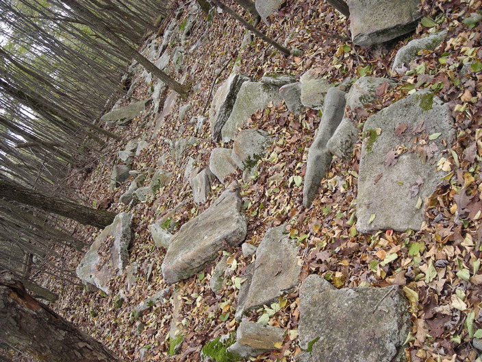
Quite rocky indeed.
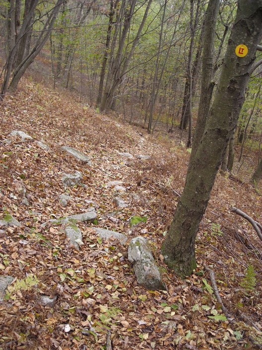
The blue-blazed Long Ridge Trail branches off to the right. It goes to a radio tower where there is some parking.
The other side of Long Ridge is much steeper.
Once the slope gets less steep, the trail crosses an access road. The third trail register is located here.
This is where I turned around for the day. Hunting season was coming up, and snow season after that, so I did not plan to return to the Loyalsock Trail for about six months.
Total sightings: 0 millipedes, 0 bears, 1 human.