I took my first Loyalsock hike of 2019 in April, around the time of the last frost, before any leaves were out.
The third trail register is at mile 13.25, where the Loyalsock Trail crosses this access road.
I started down the side of Long Ridge.
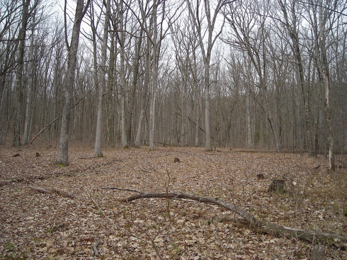
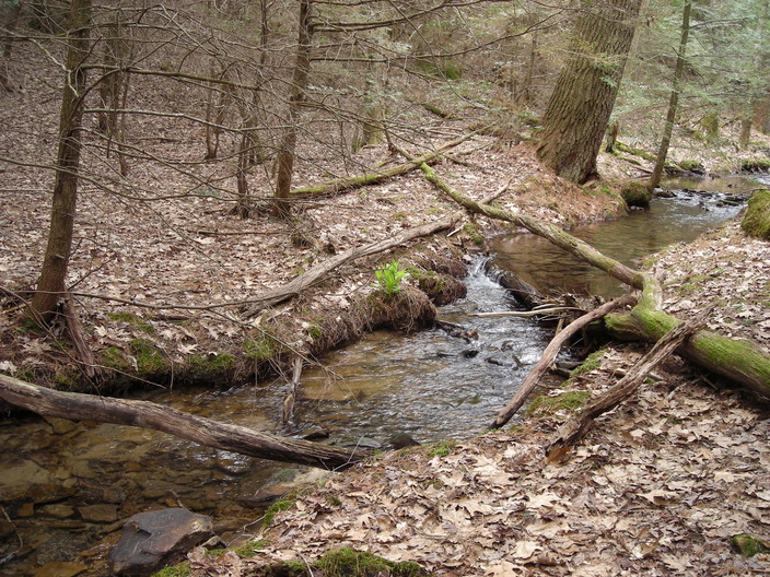
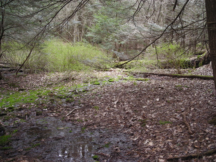
At the bottom was this flat open space.
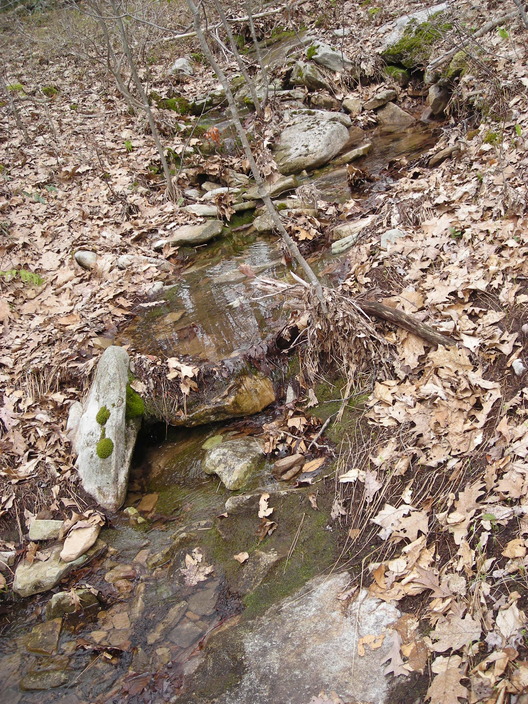
This little stream ran through the middle of it.
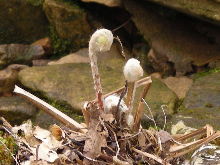
Ferns were beginning to come up.
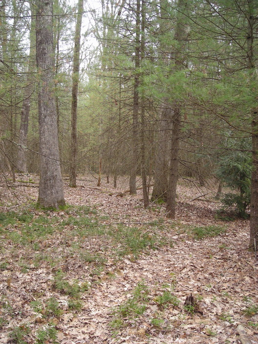
Some conifers added more green to the valley.
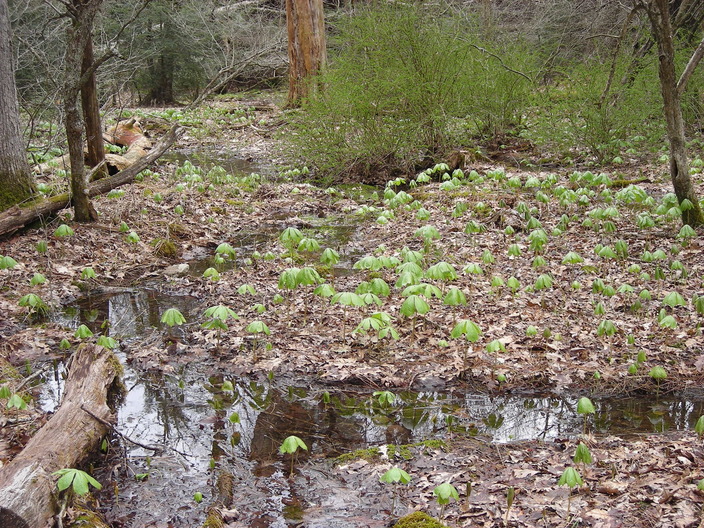
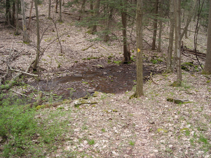
The stream makes a little patch of wetland here.
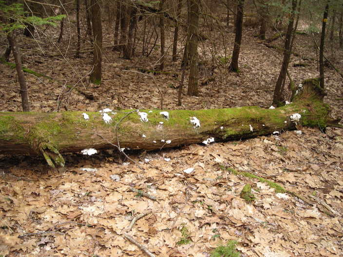
This was the only fungus I found all day.
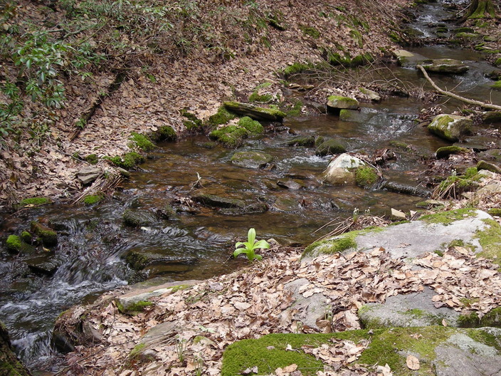
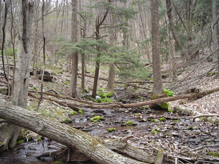
The little stream ran into this creek, which is called Hessler Branch. The trail stayed next to it on its way downstream.
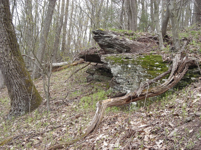
Nearby were these large rocks. This section of the trail, however, was not especially rocky.
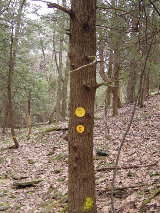
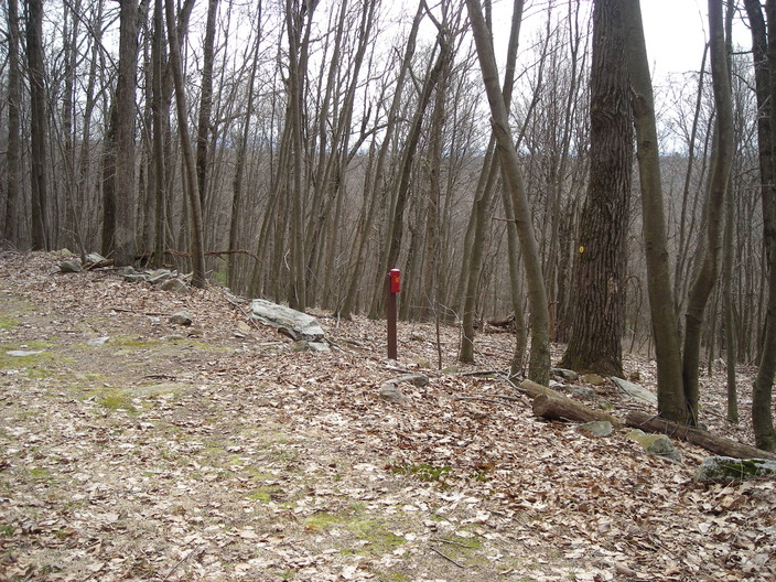
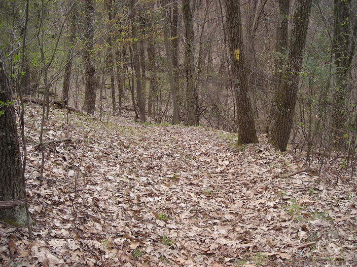
When the trail started to move away from Hessler Branch, I came to the day's first mile marker.
Next I passed this muddy patch, glad to avoid it. But a few steps further on, the trail turned back and cut right through the muddy patch, behind the fallen tree.
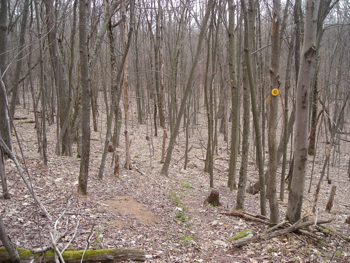
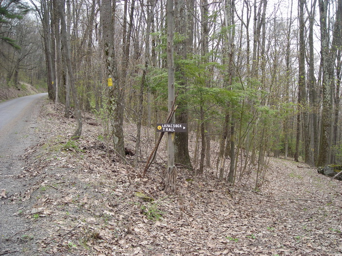
Here the Loyalsock Trail makes a right turn onto the Miller Trail, heading south. The Miller Trail is an older route that has been made wide enough for vehicles for most of its length.
This evidence of civilization is next to the trail. There are also extensive stands of spruce on both sides.
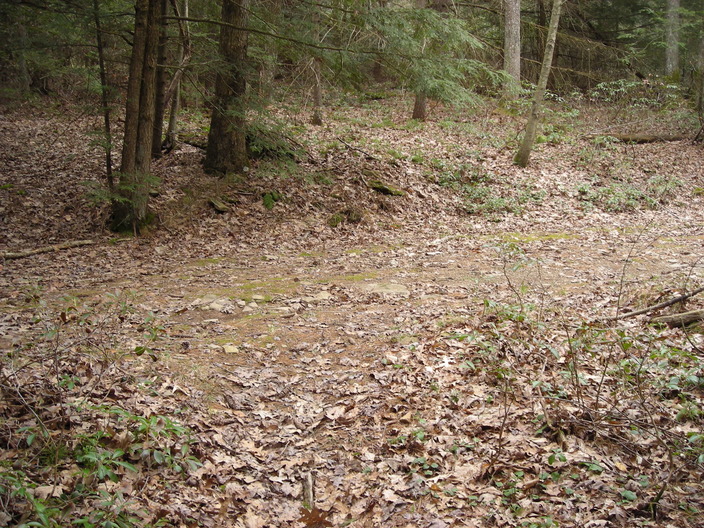
This open space, the trail guide says, was once "Sammy Miller's farm which was cleared prior to 1872 and later abandoned." I can't tell whether the fruit trees survived from the farm or were planted more recently.
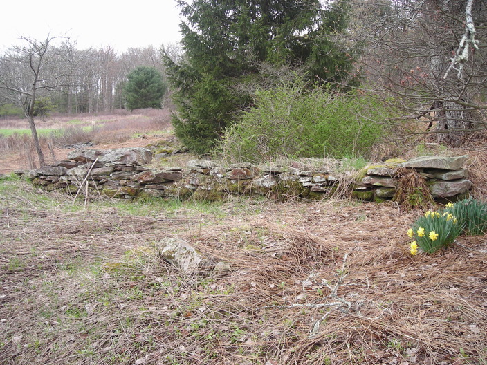
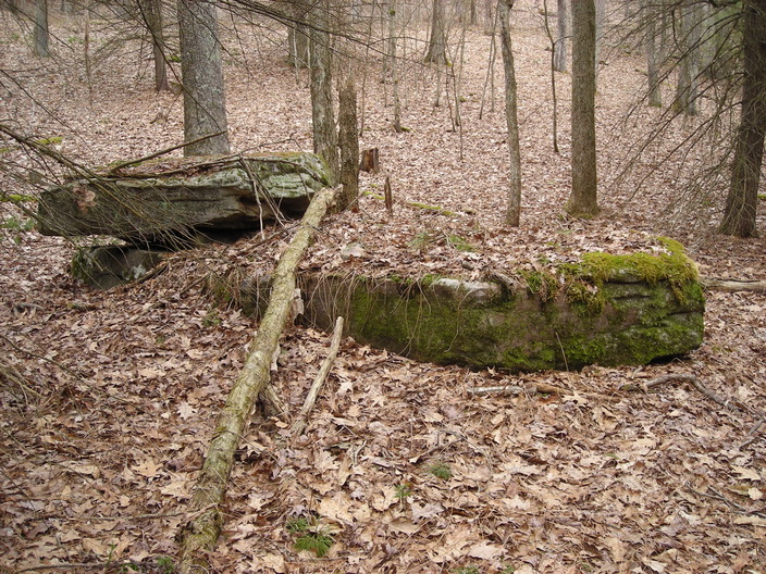
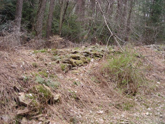
These stones would have been the foundation wall of one of the farm buildings.
Here's what's left of the inside of the building. It might have been a stable or small barn.
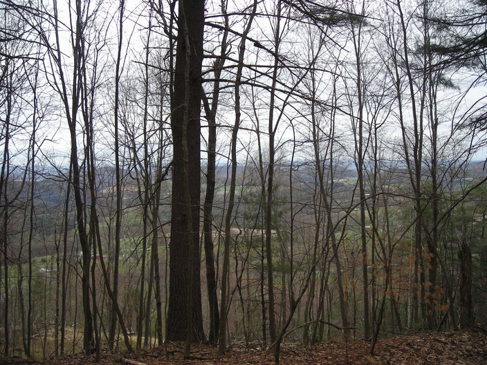
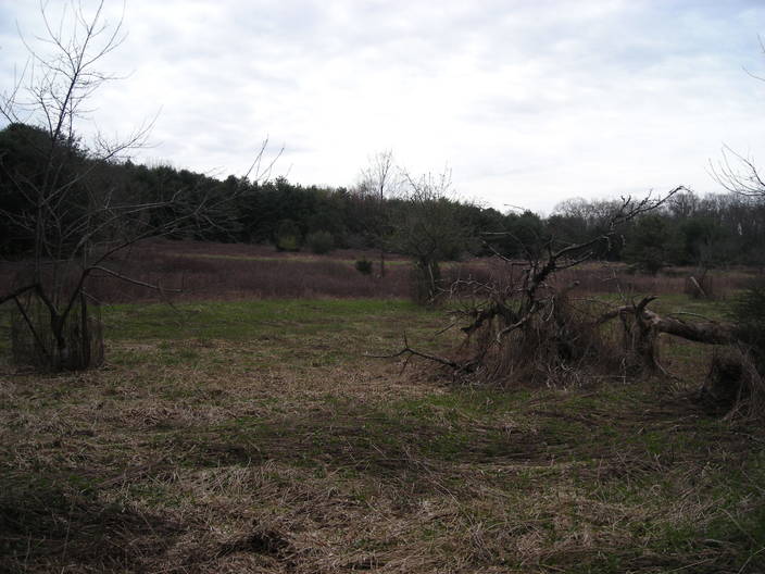
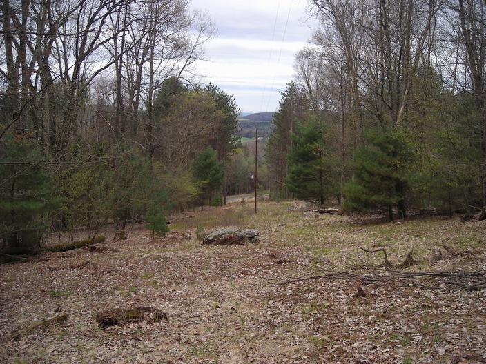
Just beyond the farm, the trail reaches the top of the Allegheny Ridge. Through the trees, you can get glimpses of the plain below.
The Miller Trail turns right here, but the Loyalsock Trail turns left, angling down the south side of the ridge. We walked the ridgetop back around miles 2 and 3, but now we are crossing over it and leaving the Loyalsock Creek basin. We are also leaving Loyalsock State Forest and crossing privately owned land.
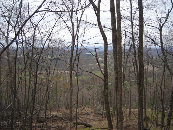
There were no breaks in the forest offering scenic views. This was the best picture I could get.
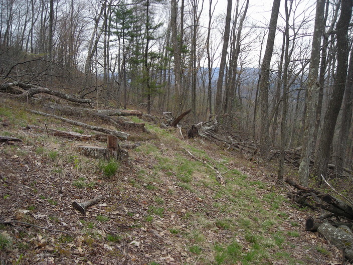
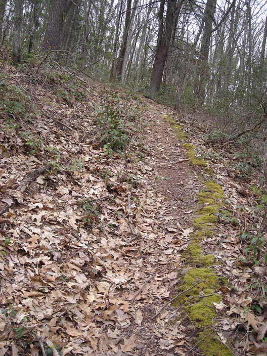
There were a lot of fallen trees on the side of the ridge.
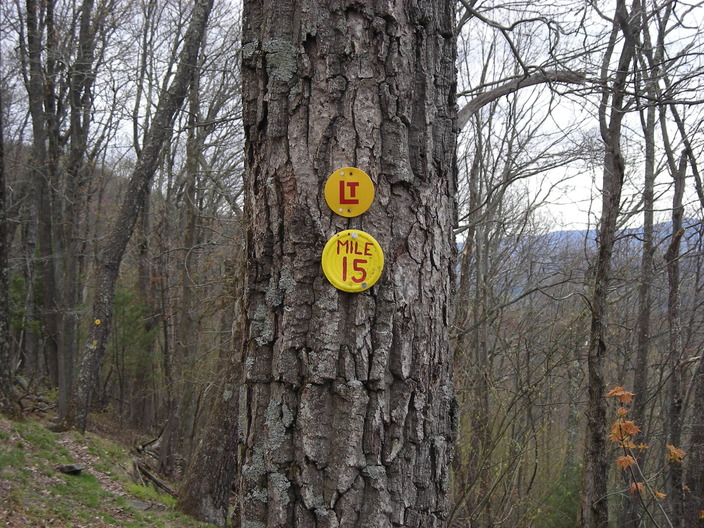
Not far down the slope is the Mile 15 marker.
Ferns were coming up around these jagged rocks.
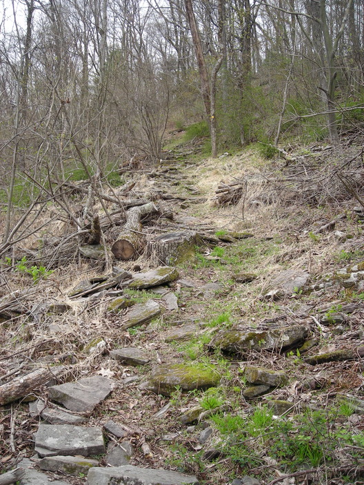
The trail is rocky and uneven here, as you can see from this view back up the ridge.
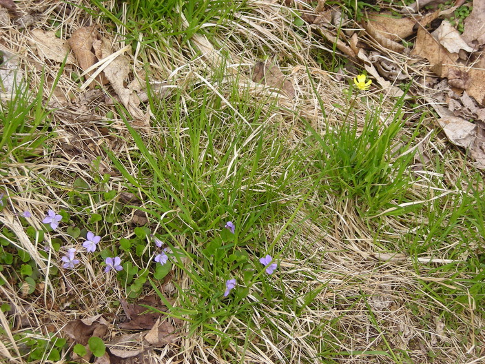
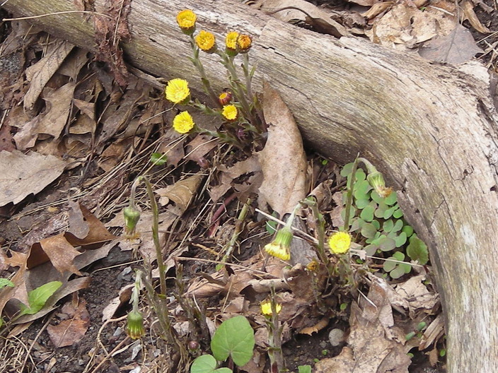
A few kinds of wildflowers were coming up. My old camera didn't get the hue of the violets quite right.
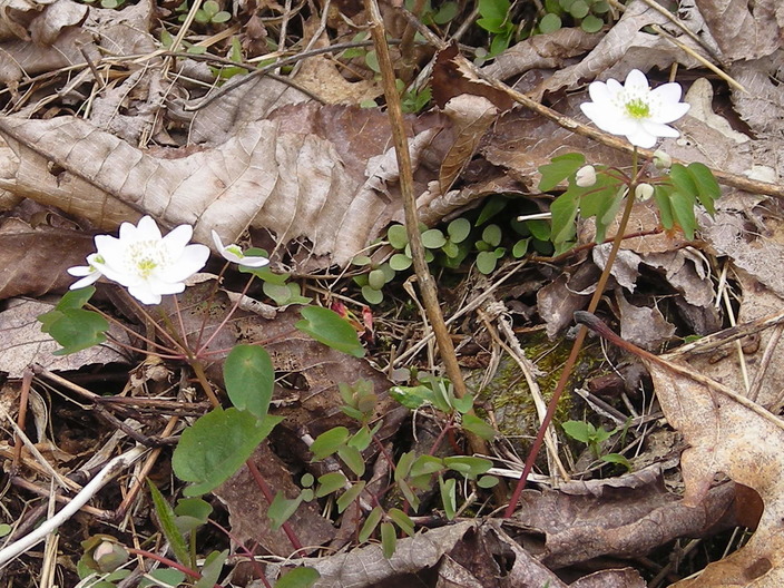
I don't recognize these white composites.
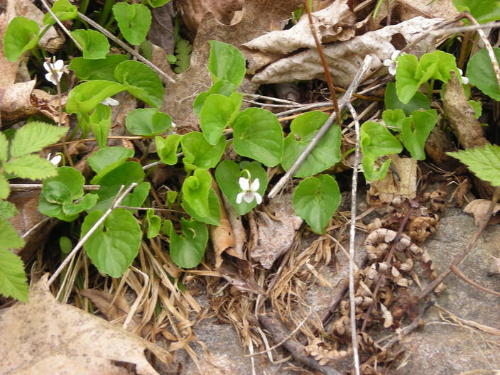
These white violets did turn out the right color.
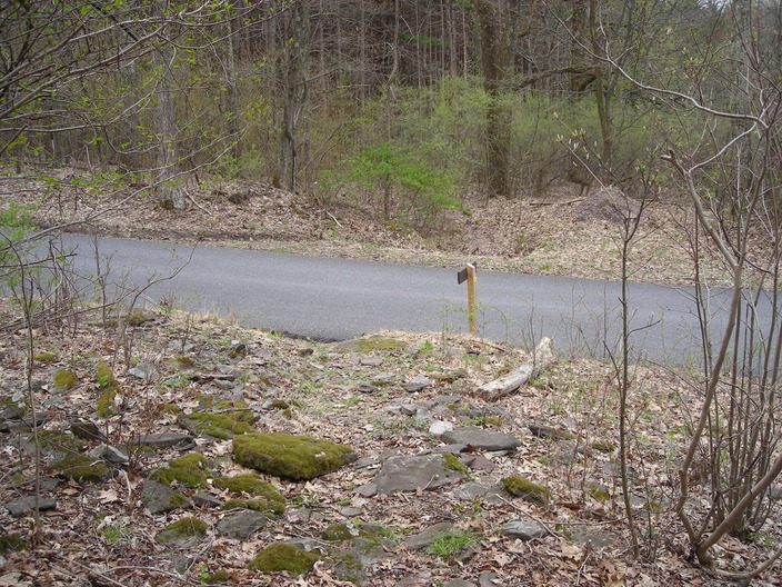
An actual paved road? There haven't been any of those since the trailhead.
It's called Dunwoody Road, and the trail turns left and runs along the shoulder for a few steps.
I found some more flowers in the ditch.
The trail returns to the woods here. There's a small pulloff just before this, with space for two or three cars.
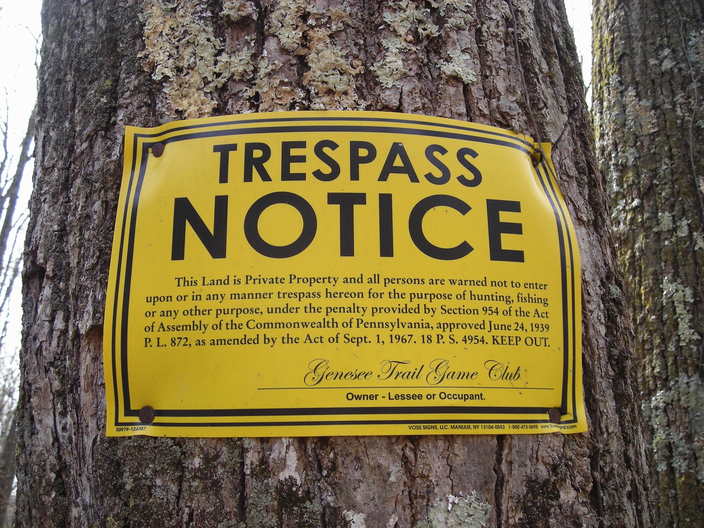
This land belongs to some hunting club. Apparently they don't want visitors. Fortunately, the Alpine Club has agreements with the landholders.
The trail crosses under these power lines. The road at the bottom is Genesee Trail Road, and this will not be the last time we see it.
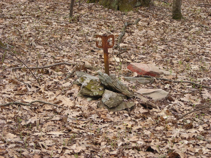
This strange object is next to the trail. Maybe it is a boundary marker?
The trail is still going downhill.
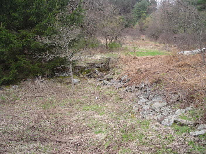
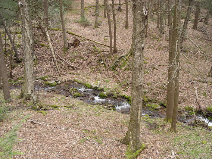
At the bottom is this stream, called Laurel Run.
Laurel Run is in this cluttered valley, a fold that goes a short way back into the ridge.
Once across Laurel Run, the trail climbs back up the hillside. This is the first steep climb of the day, but it's not long.
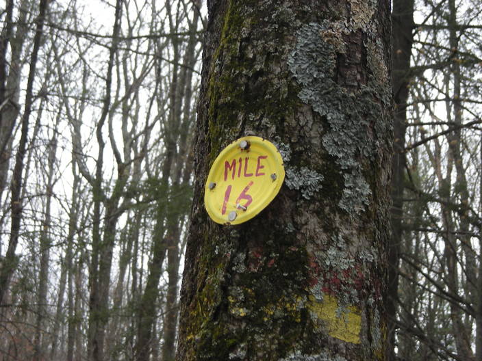
One more mile behind me.
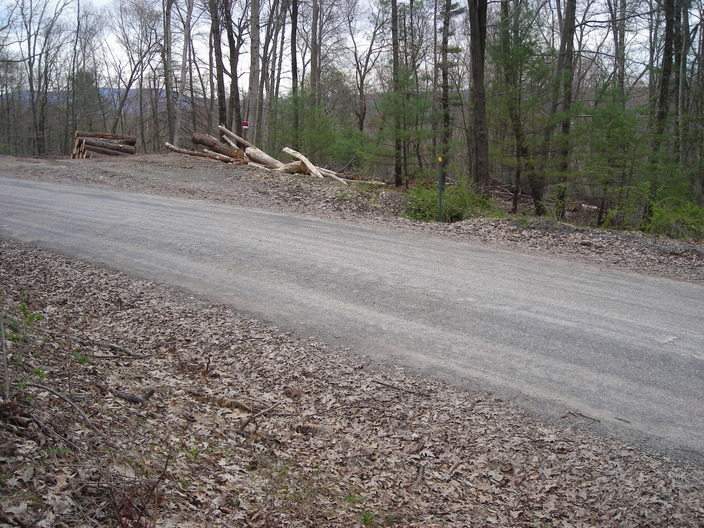
Soon after Mile 16, the trail turns left onto Genesee Trail Road. Originally, a Native American footpath ran from Muncy to Towanda, making a shortcut past a long bend in the Susquehanna River. The Genesee Trail Road was built over this route in 1799. The Loyalsock Trail will follow it for the next three miles.
This is not a very interesting section of the trail.
After about half a mile, there's a little creek running along the right side of the road, down in a gorge.
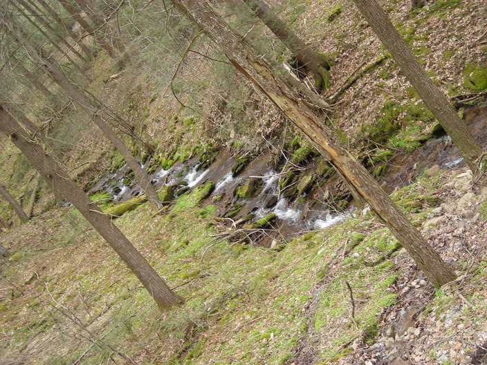
It tumbles over some rocks, making a nice sound.
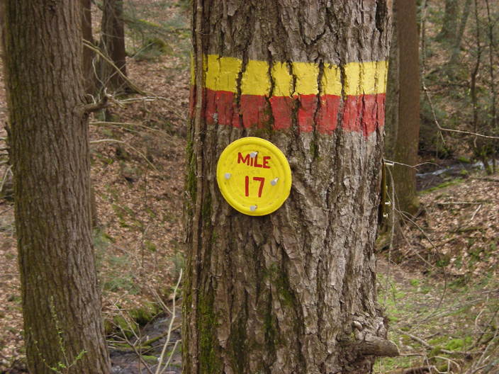
At the next mile marker, I turned around. I'll finish the Genesee Trail Road another day. A day with more green and hopefully more mushrooms.
Total sightings: 0 millipedes, 0 bears, 0 humans.