My next Loyalsock trip happened in June, during warm weather, with some light rainfall in the previous few days.
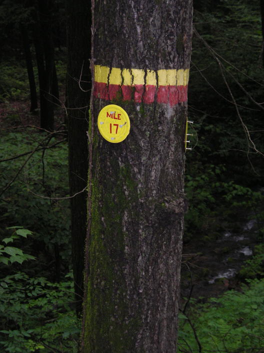
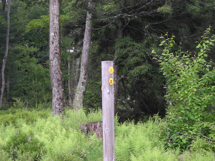
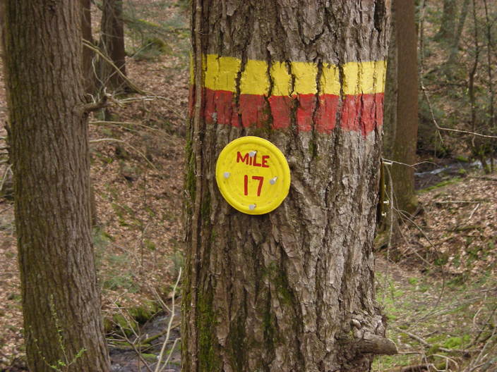
The Mile 17 marker has not changed since I was here two months ago. But there are a lot more leaves in the background.
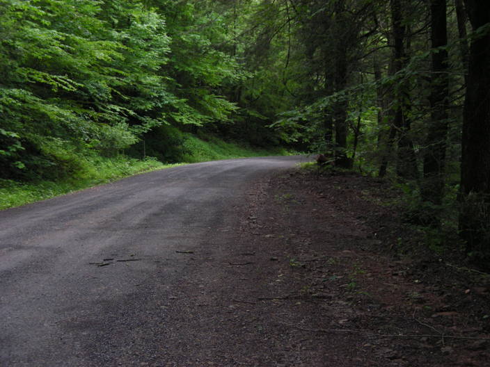
There are a lot more leaves on the Genesee Trail Road too.
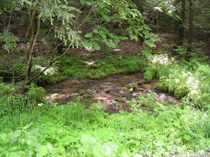
As the road climbs the hill, the small creek gets closer.
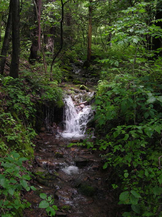
Soon it crosses through a pipe under the road. On the other side, it tumbles over this little shelf.
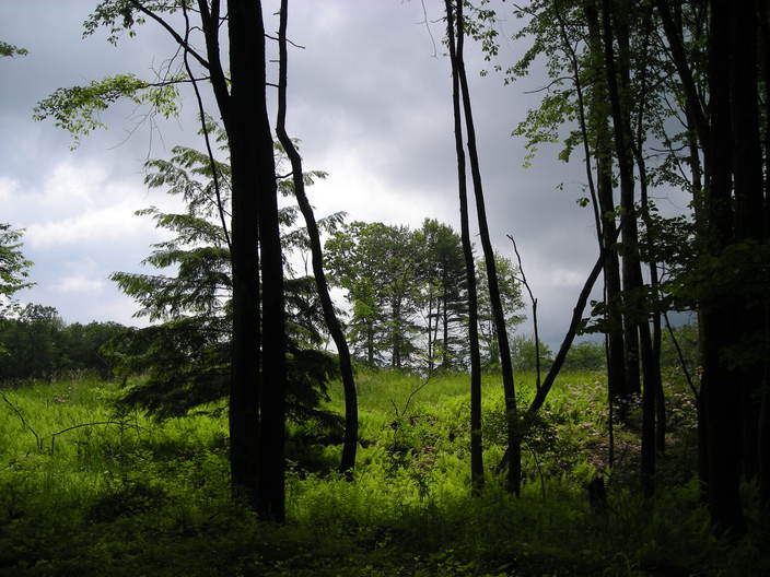
As the grade flattens, a large open space comes into view.
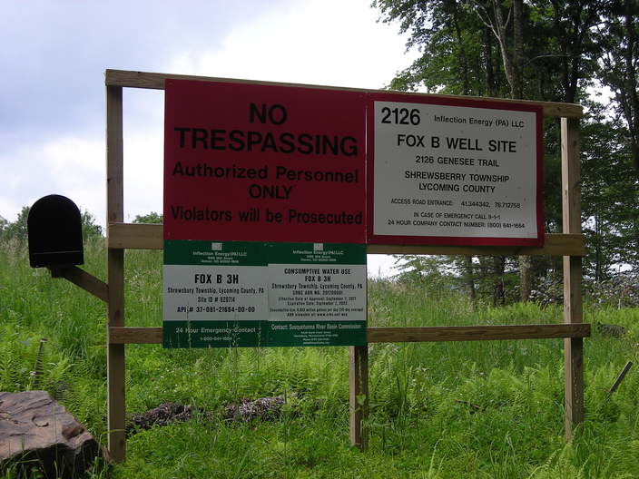
It looks like someone is drilling for toxic hydrocarbons.
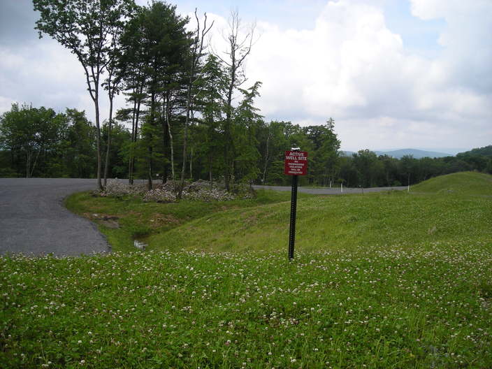
A few acres have been cleared and sterilized, marked off with signs and beer cans.
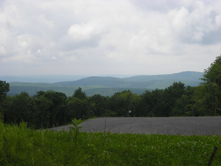
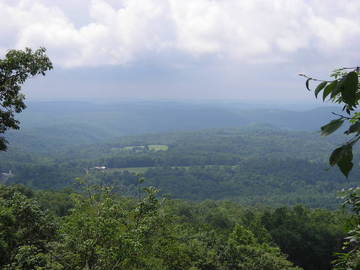
The opening in the trees does give a nice view of the valley.
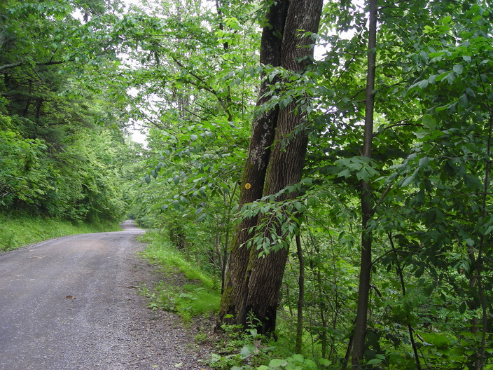
The road keeps going uphill. There are only a few tree trunks close enough for attaching blazes.
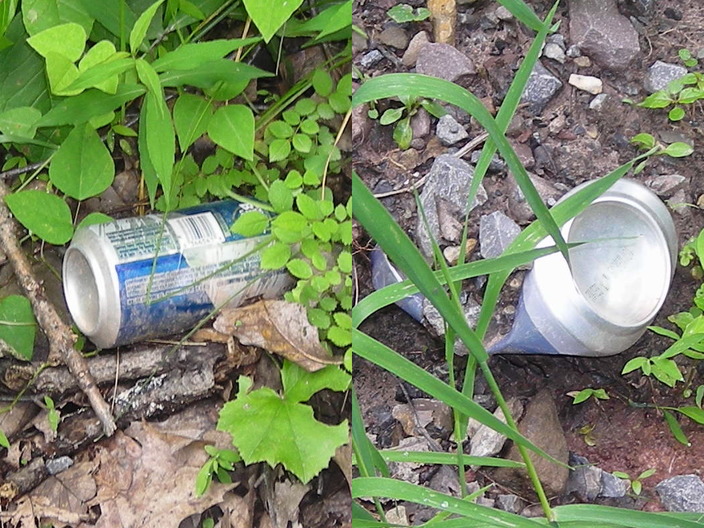
There were some more beer cans along the side of the road.
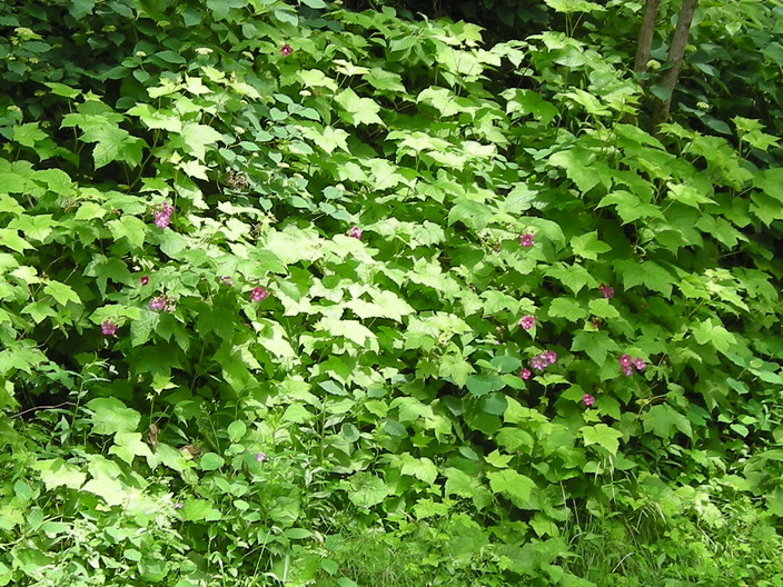
I found some wildflowers too.
The hill on the south side gets steeper, and there are some gaps in the trees with nice views. But the sun was not at a good angle for taking pictures.
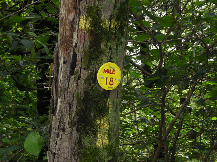
I've mentioned that the mile markers might not be evenly spaced. I'm fairly sure that the distance between the Mile 17 and Mile 18 markers is well under one mile.
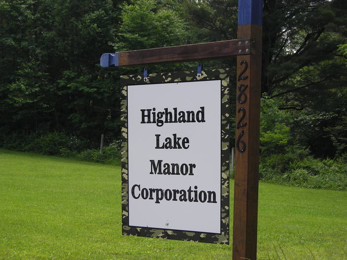
What's this at the top of the hill?
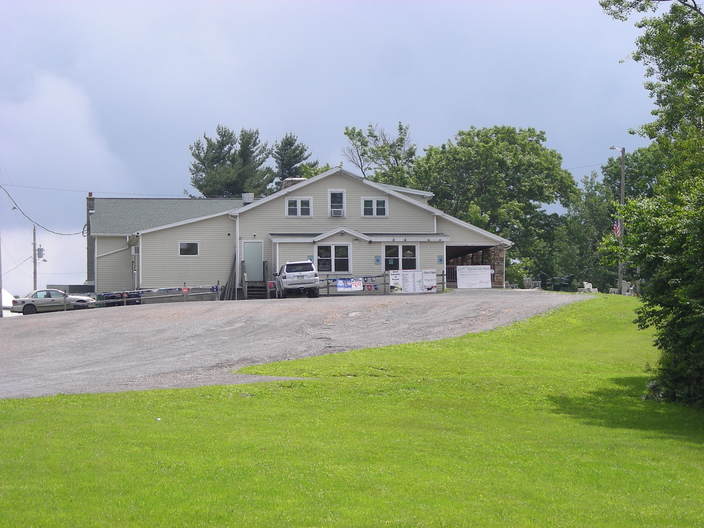
Some kind of establishment. I think it's the clubhouse for a trailer campground.
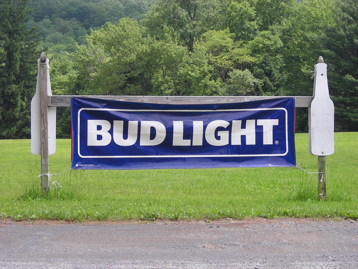
This explains all the beer cans.
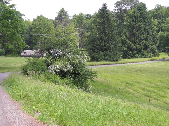
Around the next bend were some fields, with a few parked trailers.
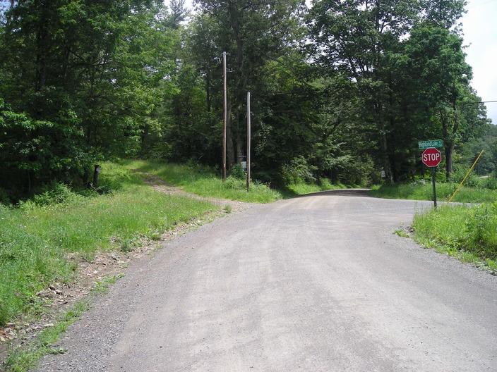
Now things get complicated. The Trail Guide calls this a "five way intersection". Genesee Trail Road goes straight ahead here, and Highland Lake Road comes in on the right. The gravel road on the left is the original Genesee Trail; the Loyalsock Trail goes that way. There is also a driveway on the left which does not matter to hikers.
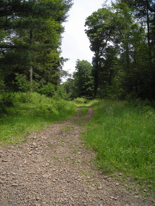
The old road heads uphill.
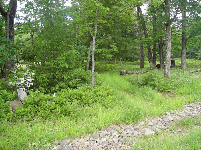
A few steps further on, the trail splits away from the powerlines, heading into the woods on the right.
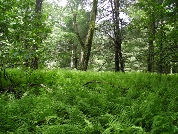
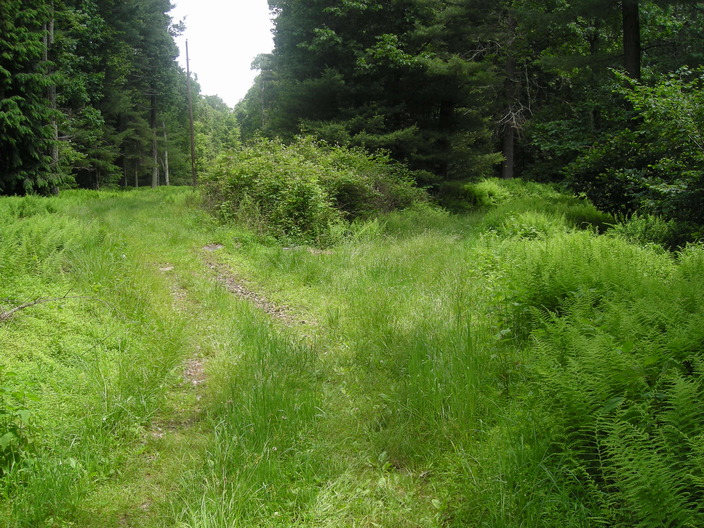
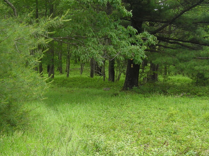
It passes a small ferny open space.
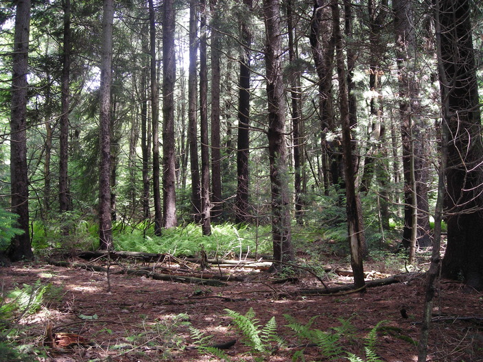
The ferns also grow under these denser conifers.
The road parallels the new Genesee Trail Road for almost a mile, keeping it not quite out of sight. There are a few houses built in the space between the two roads.
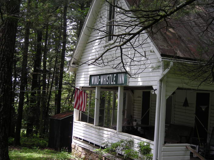
One of these is the Wind-Whistle Inn. The Trail Guide says it was built to be a casino, around 1886.
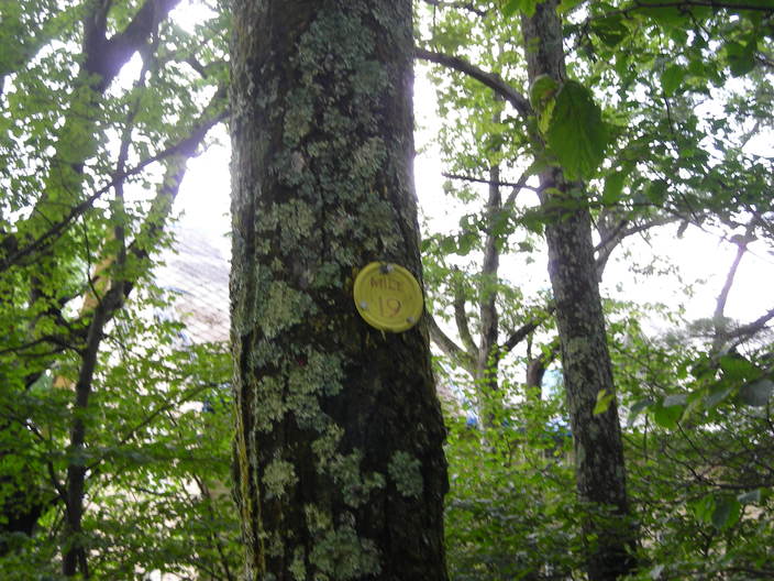
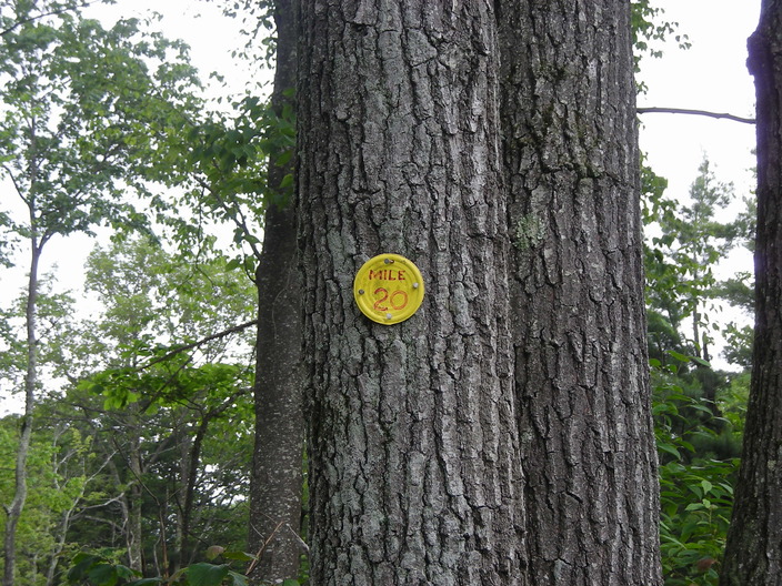
Just before the trail leaves the woods, there is another mile marker.
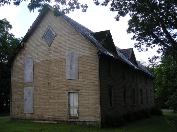
A few steps further on, this building appears. It also was a casino, built in the 1880's.
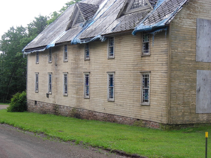
Here's a shot of the front of the casino. Notice the colored glass in the windows.
If you are hiking east to west, don't follow the road around this side of the building. Stay to the right and follow the trail markers into the woods.
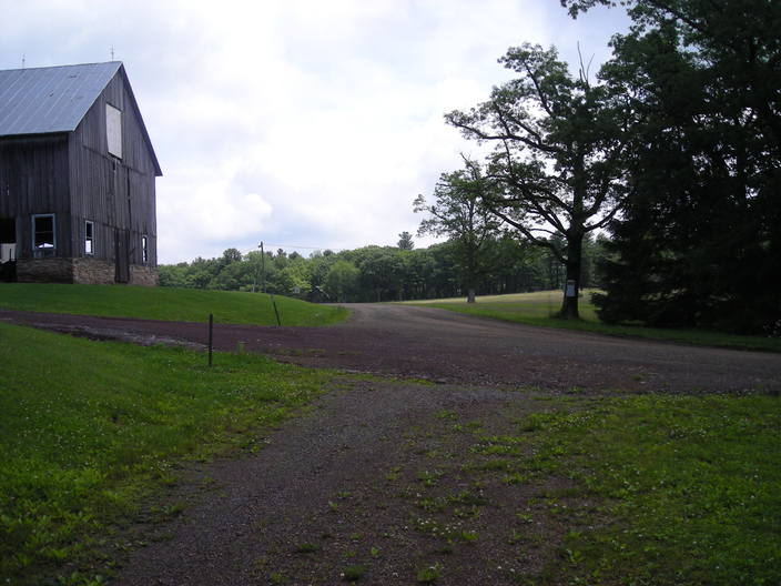
Another tricky crossroads. The familiar Genesee Trail Road comes in at the right. The Loyalsock Trail appears in the foreground and joins it. They both head over the hill in the center of the picture. The road at the left is just a farm driveway.
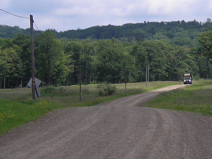
There are few trees next to this section of the road, so the blazes have been tacked to the telephone poles. This is also probably the only place on the Loyalsock Trail that gets garbage collection service.
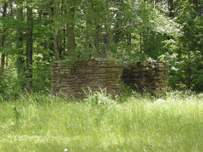
This stone structure is near the side of the road.
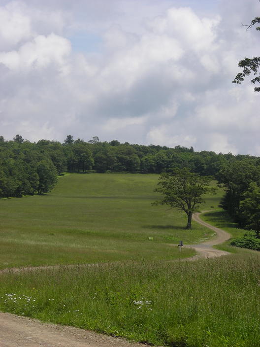
Around the next bend is a wide open field stretching up the hillside.
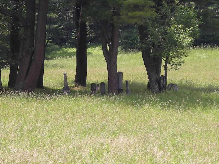
According to the Trail Guide, these gravestones are the Meracle family plot. They settled this area sometime before 1873.
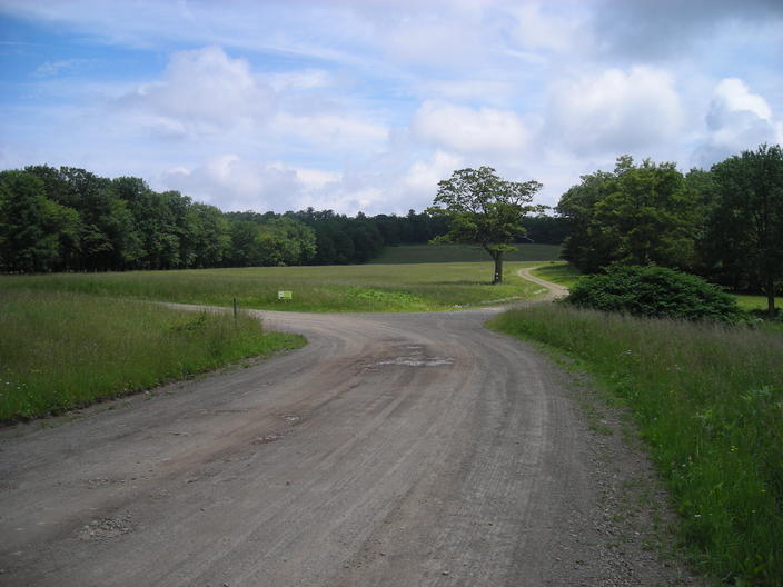
The road on the left goes off to a camp. The trail follows the fork that keeps straight ahead, going northeast to the ridgetop.
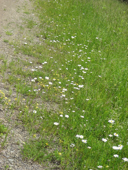
Genesee Trail Road is just a gravel track now, but there are plenty of wildflowers along its side.
The Loyalsock Trail is turning. It's time to leave the gravel roads and the grassy fields.
At first, there is only a thin line of trees between the trail and the field. On the other side of the trail, the trees are even sparser.
This gap in the trees looks into the top of the field. The trail soon passes its end.
On the other side, it's not long before the trees become thick.
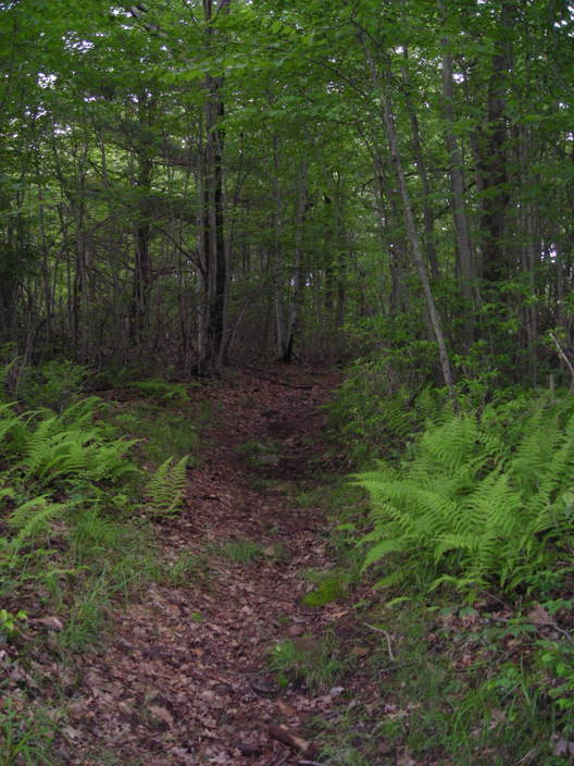
This is not a steep hill. But its altitude is about 2140 feet, over a hundred feet higher than any other point on the Loyalsock Trail.
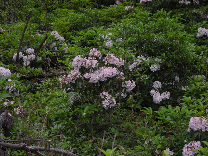
Mountain laurel grows all over this hill.
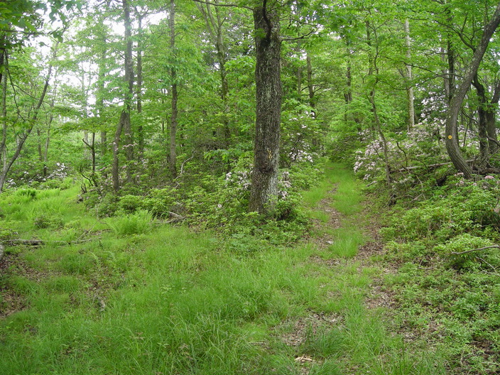
The forest is mostly young trees and undergrowth.
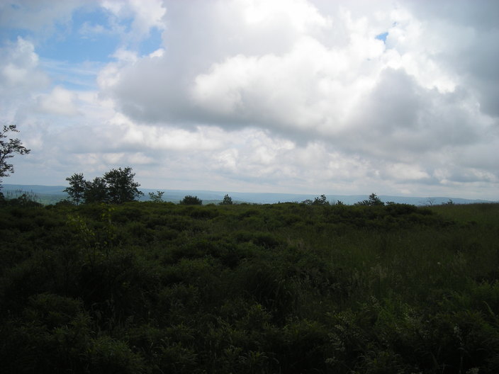
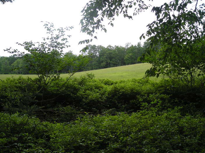
The trail passes by the edge of another field, this one to the east. Just a glimpse of distant terrain appears over the edge of the hill.
There has been a lot to see in the last mile.
More pictures to come...