I hiked this section of the trail about three weeks after the previous trip. It was drier, though there had been some rain the past few days.
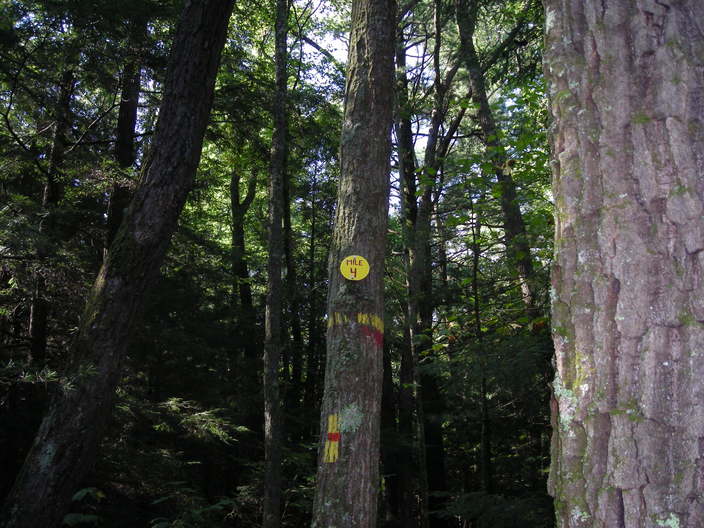
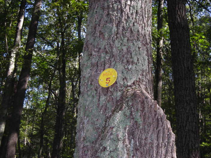
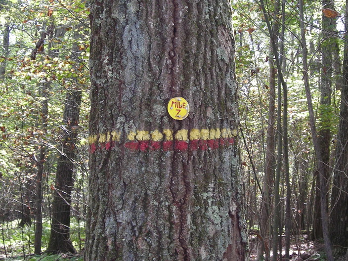
Here is the same mile marker where I stopped last time.
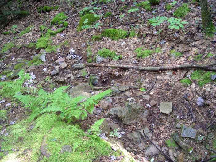
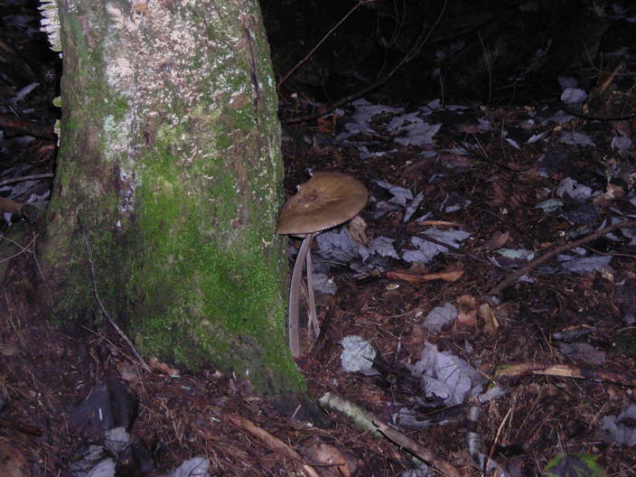
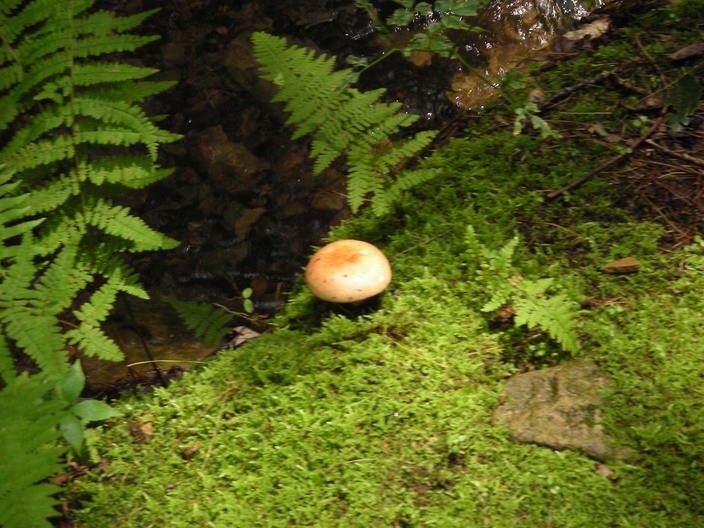
I took a picture of this same mossy outcrop three weeks ago. The stream and the fungus are no longer to be found.
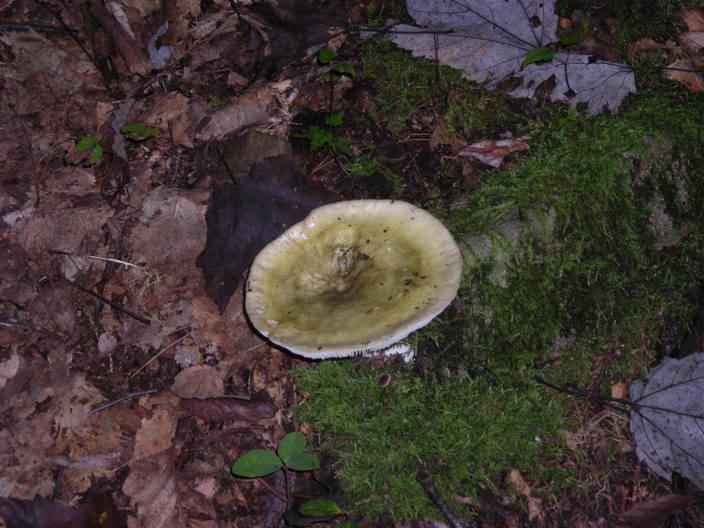
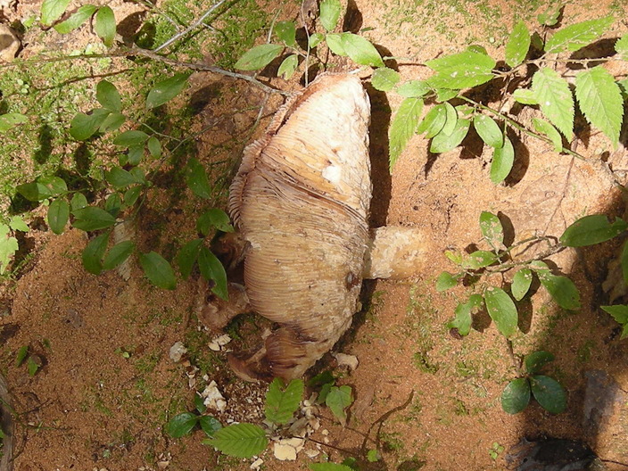
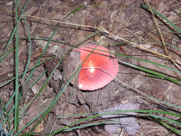
I did find some fungus off to the side.
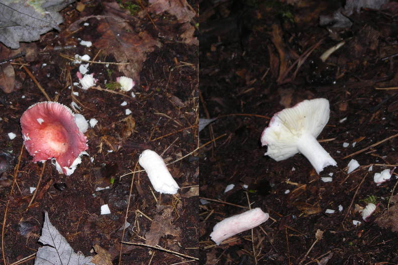
This specimen has been damaged. Maybe something has been snacking on it.
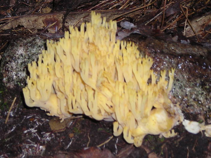
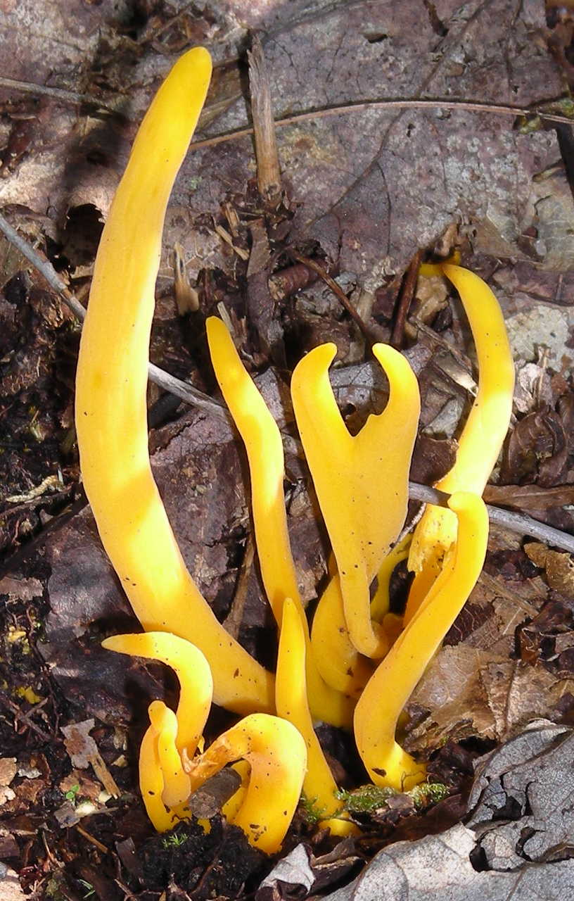
This coral, on the other hand, is in excellent condition. This may be an example of the Ramaria genus of mushrooms.
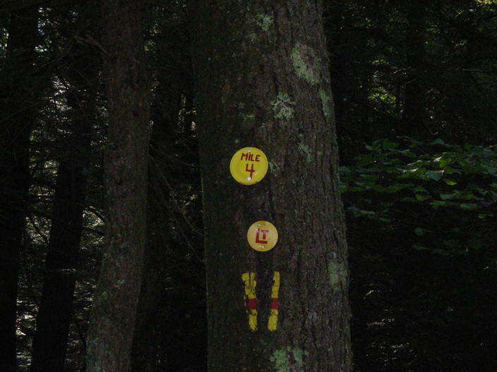
Here's another tree with a Mile 4 marker. My guess is that this is the newer, more accurate one.
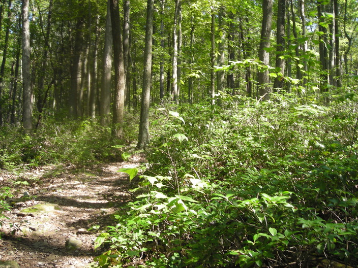
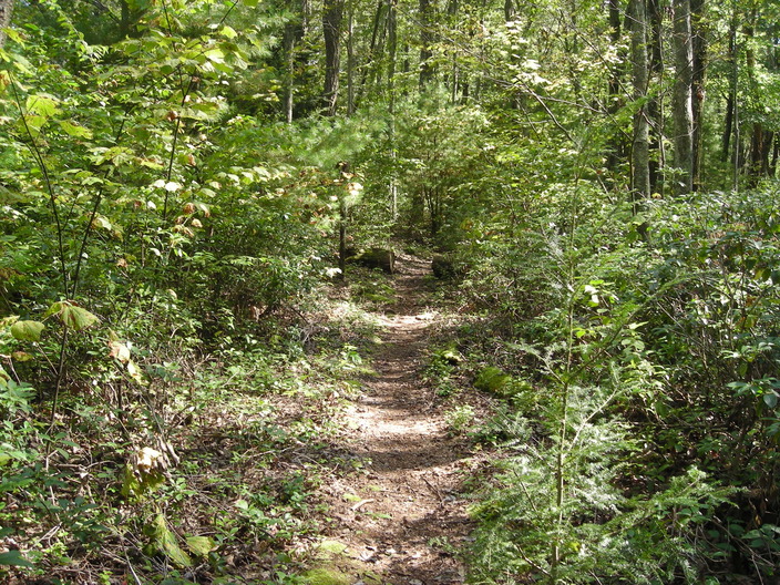
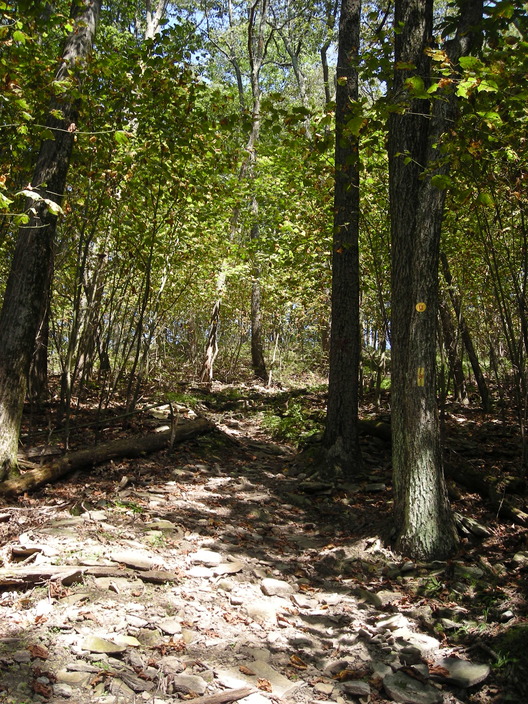
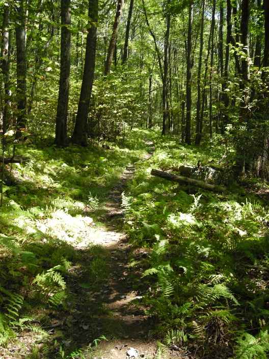
Though the weather had been drier than on my previous trip, there was still a wide variety of mushrooms. This is probably because the trail runs down the bottom of a little valley. According to the map, it is called Pete's Hollow.
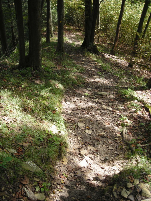
At this point, the trail gets steep and rocky. Hikers will need to scramble. Bring a walking stick.
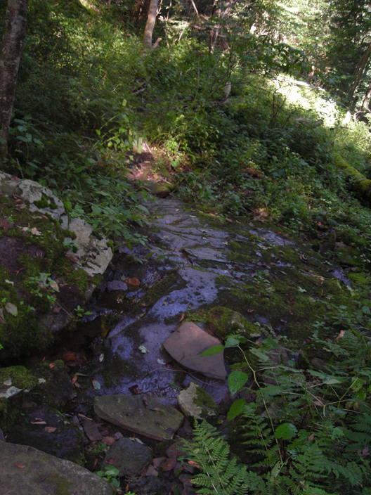
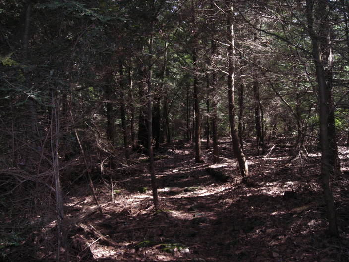
The stream at the bottom of the valley reappeared. These rocks are very slippery, even when only slightly wet. Try to avoid stepping on any rock that is not perfectly flat.
Around here, I began ignoring the fungus so I could concentrate on not breaking my neck.
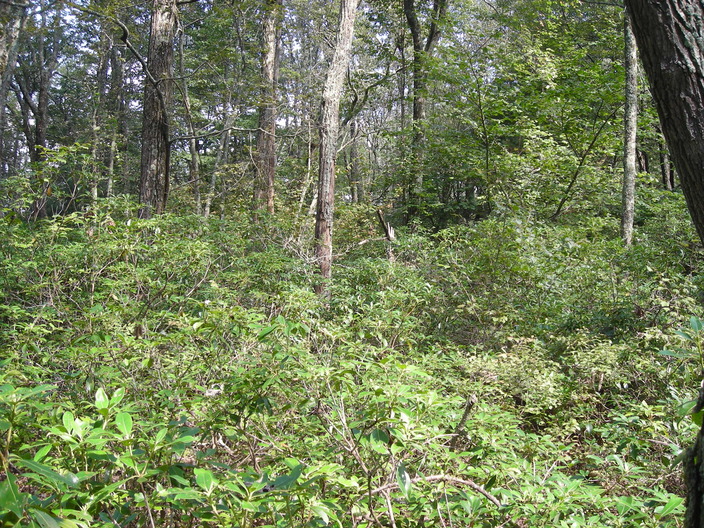
Further down the hill is this ferny glade.
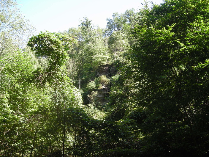
Through the glade, you can see the crags that surround Pete's Hollow.
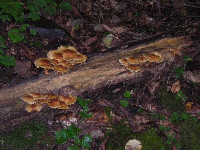
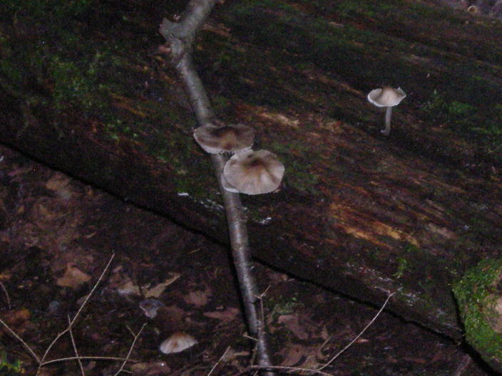
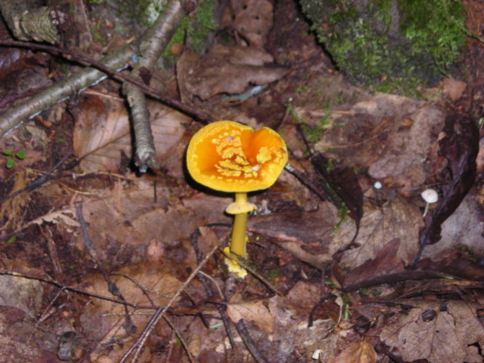
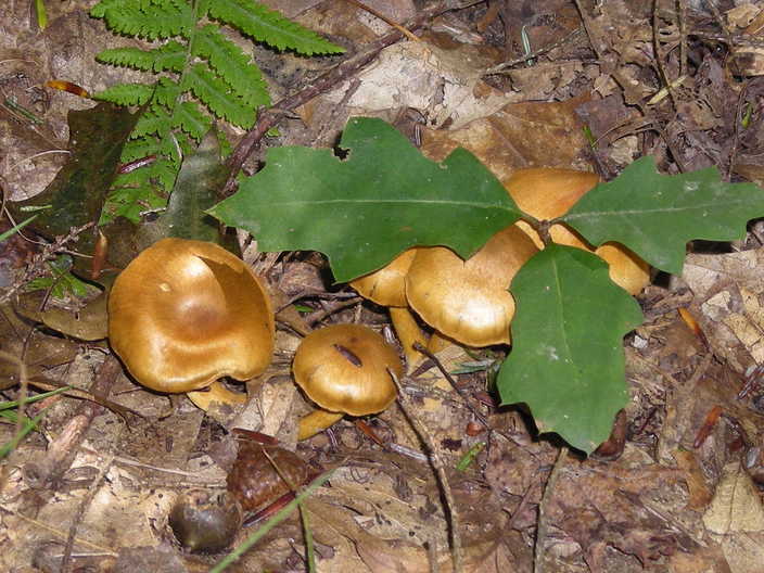
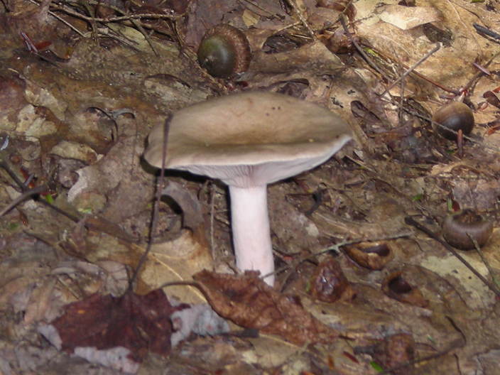
The slope gets shallower, and the stream widens a little. I came across these mushrooms right next to the trail. The stream may have flooded the log during the rains a few weeks ago.
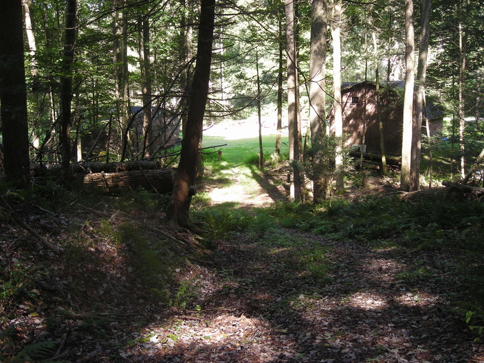
At the bottom of the hill, the trail emerges from the woods. These buildings are marked as a "Ranger Station" on older maps, but they have since been demoted to an "Equipment Storage Area".
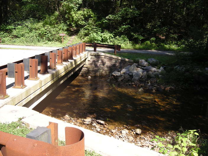
There's a bridge over Little Bear Creek, and Little Bear Creek Road is on the other side.
I think these stairs are only a few years old. They go up the bank to a parking lot. Previously, the trail followed the road for a few steps and then turned down the driveway to the parking lot.
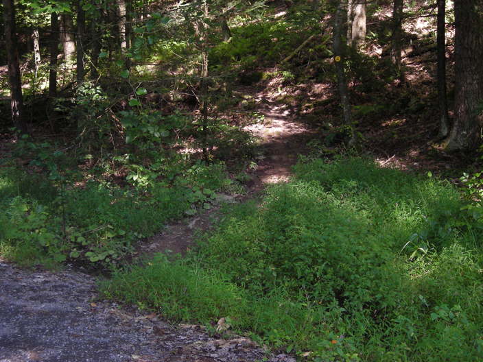
The trail crosses the parking lot and turns left onto a gravel drive. Before long, it takes to the woods again.
There's a trail register here. You may want to grab one of these walking sticks. You'll need it...
...because you're on the Loyalsock Trail, where the phrase "creek crossing" is always followed by the phrase "steep uphill scramble".
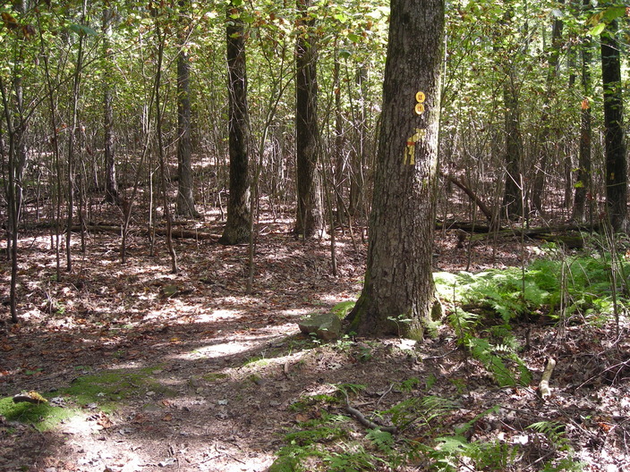
A switchback or two brings the next mile marker into sight.
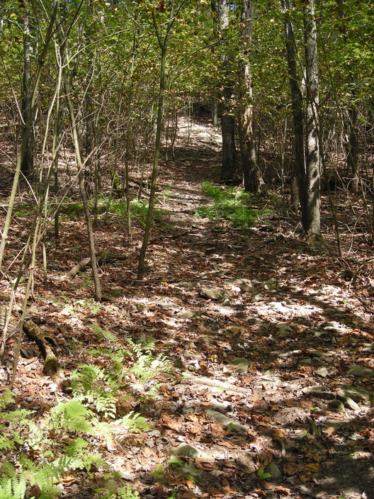
The soil on this hillside is drier and rockier. The tree growth seems young.
The canopy is fairly open.
A little further up, the undergrowth changes from shrubbery to the sapling trees you can see in the background.
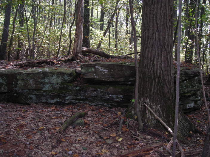
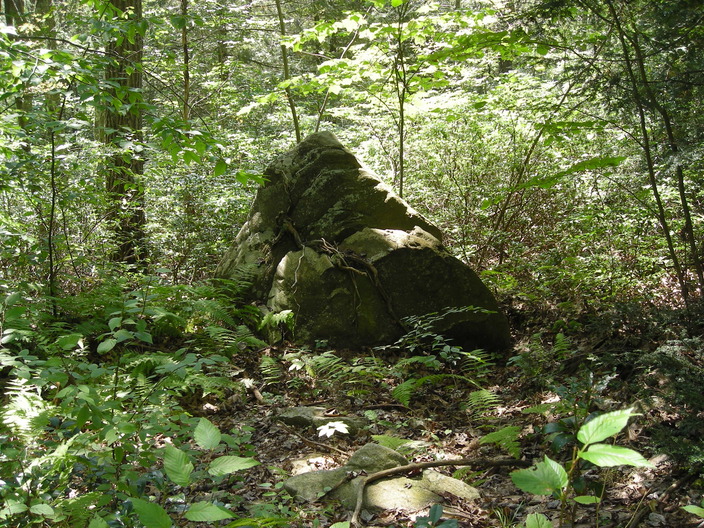
Near the top of the slope is this large, flat rock. A tree used to grow on top, but it is dead now.
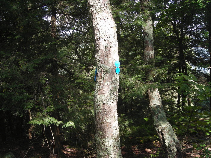
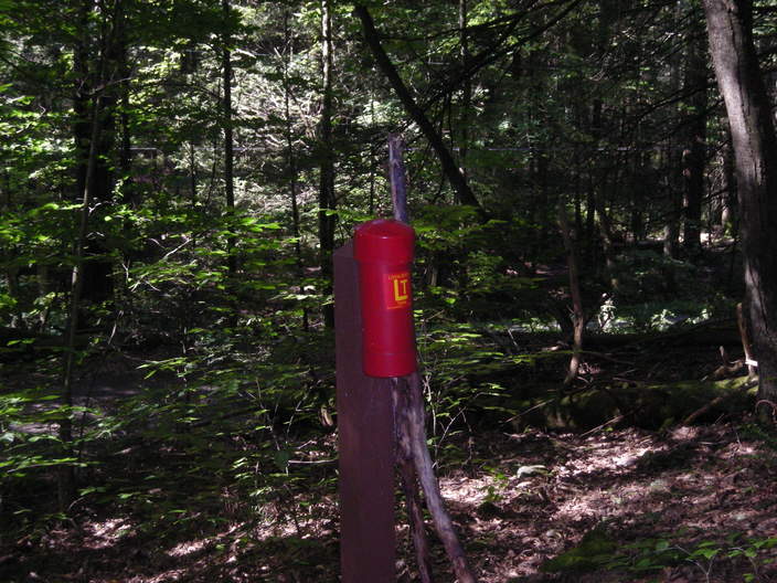
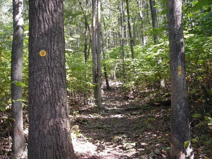
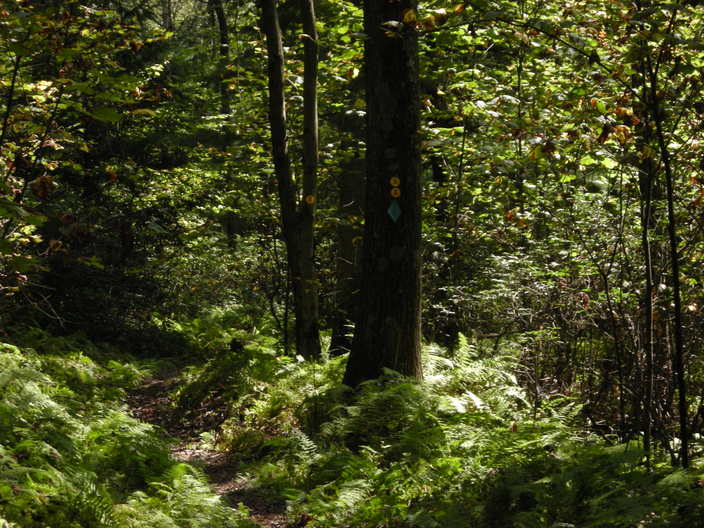
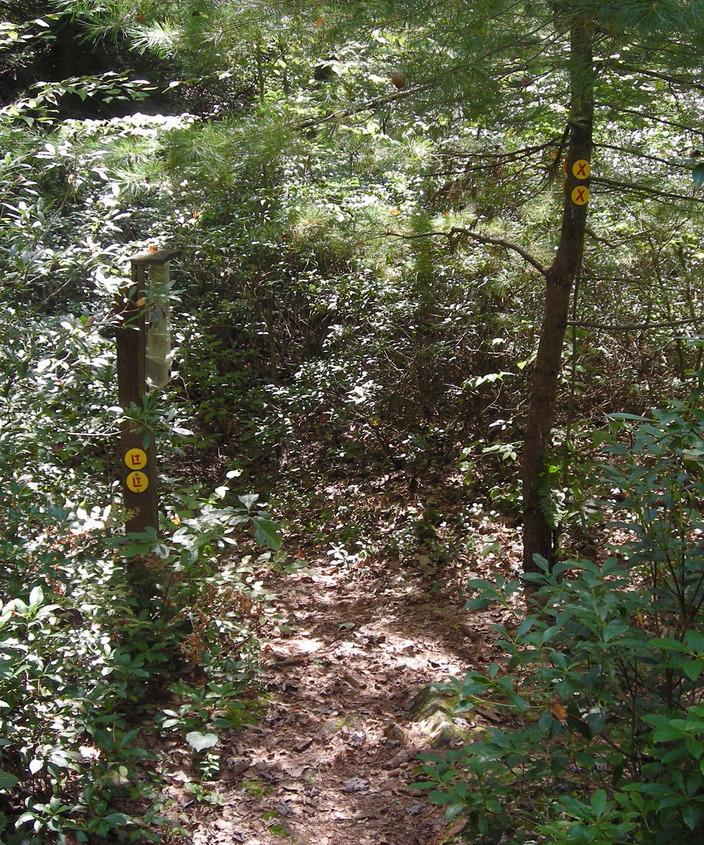
Blue blazes: this is where a side trail branches off.
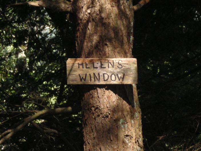
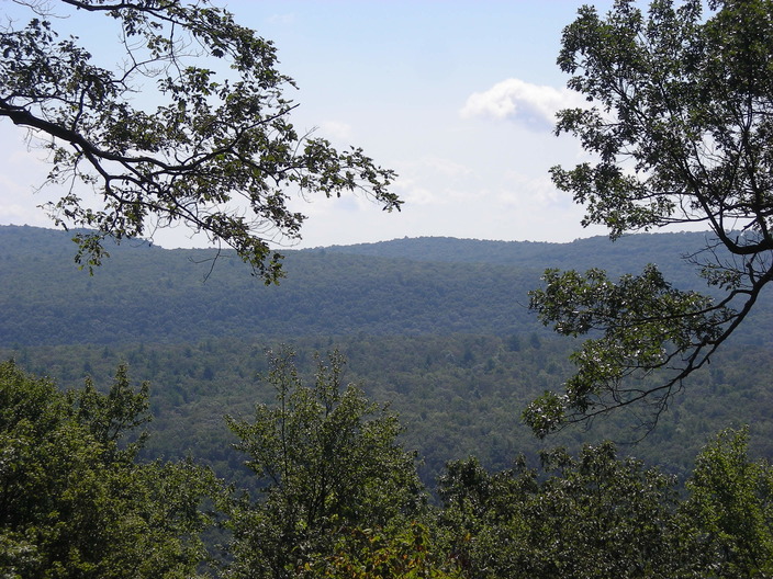
Helen's Window is the next of the trail landmarks.
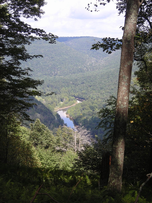
It is a gap in the trees that offers a scenic view of the Loyalsock Creek valley. I did not get many good shots through Helen's Window, because there was too much contrast for my old camera to handle.
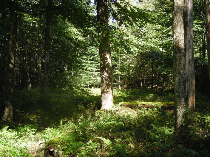
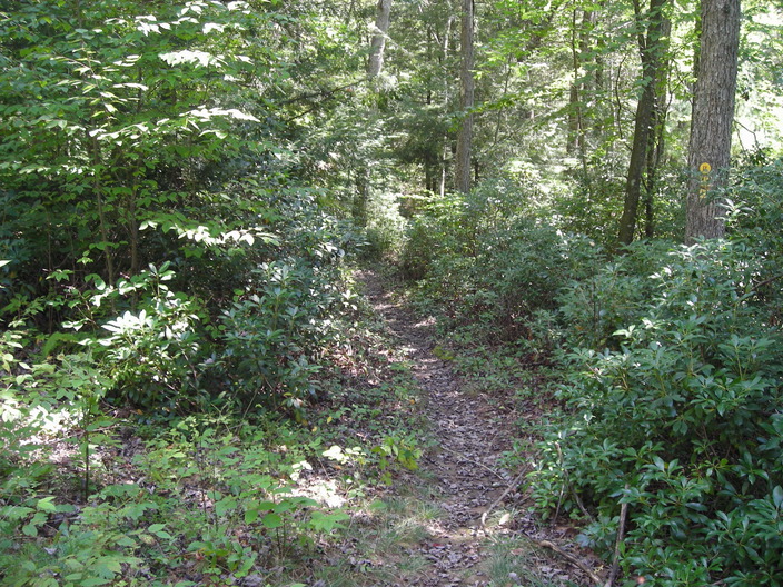
Next, the trail runs mostly level along Laurel Ridge. The forest here is more varied.
There's a conifer grove here.
But most of the forest looks like this.
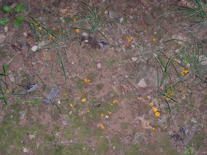
There are a few mushrooms up here.
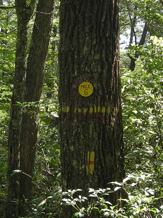
I came across the Mile 6 marker around one of the bends. I did not see any more duplicate mile markers, so the remeasurement must have only applied to the first few miles.
Next, the Loyalsock Trail makes a right turn onto this wider path.
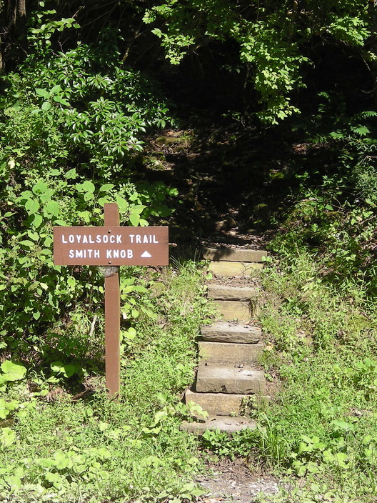
Red X blazes mark side trails. This one detours around Smith's Knob, a 300-foot projection on top of the 800-foot ridge we just climbed.
The Loyalsock Trail, of course, does not take detours around knobs. Be careful not to slide on the loose rocks.
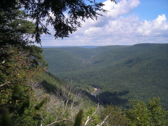
When the trail flattens, there's a break in the trees to the south. The view is over the ridges and valleys of the Little Bear Creek basin.
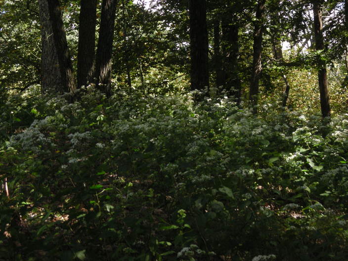
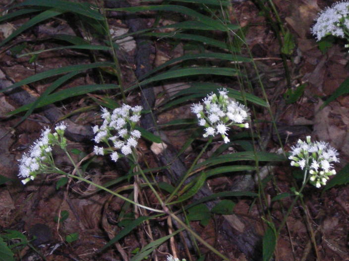
The top of the knob is open, surrounded by the trees on the sloping edge. These flowering plants are growing everywhere.
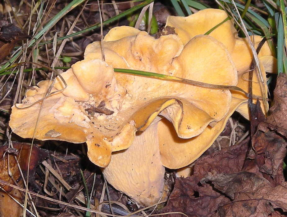
Even up here, there are fungi to be found. I think this is some kind of chanterelle.
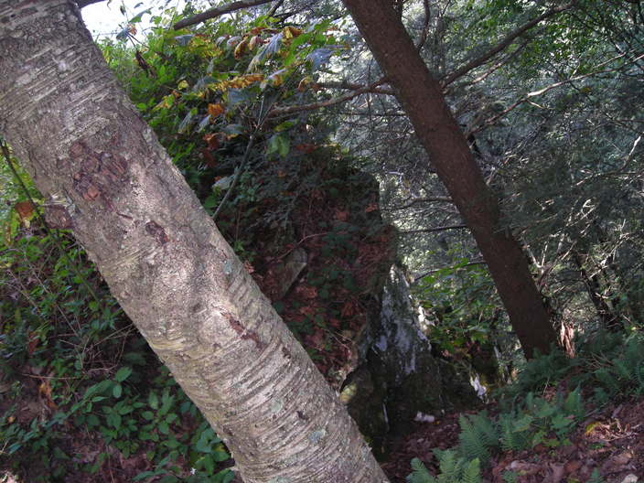
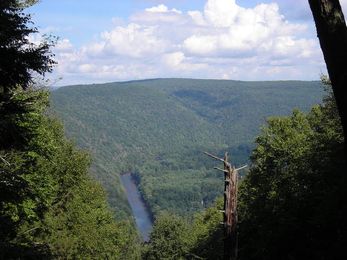
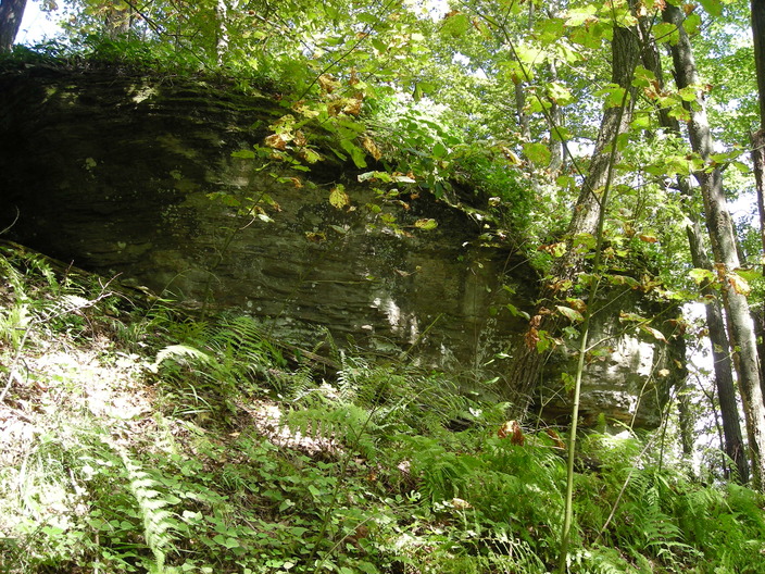
At the northeast corner of Smith's Knob is a steep-sided outcrop, projecting through the trees.
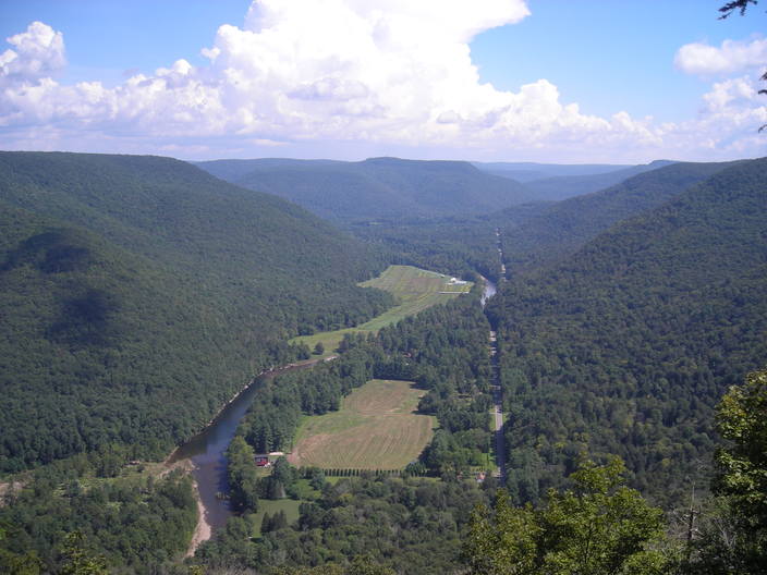
This is the view up the Loyalsock valley to the east.
The creek then bends north, making a detour around the Knob.
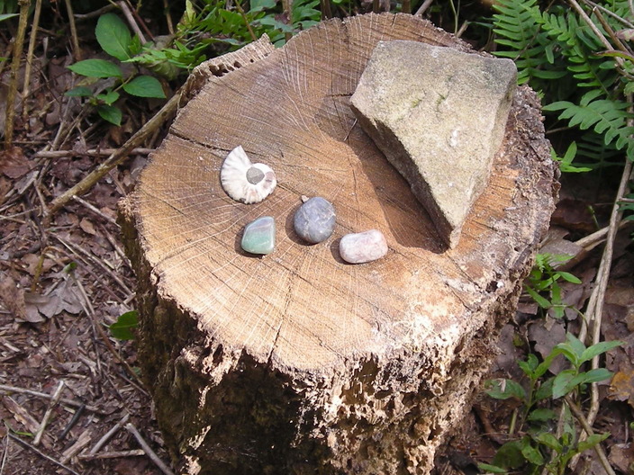
Someone has left these rocks on a stump next to the Vista, for no obvious reason.
Leaving Smith's Knob, the trail drops down a particularly steep slope. I would not want to come up this way with a heavy pack.
This is an upward view of a shelf from which the trail has just descended.
There's another opening in the trees that gives a northward view of the Loyalsock Creek.
The ground levels out, and another mile marker appears. It's been an eventful mile.
The Smith's Knob detour reappears here. I remember there being a lot of mosquitoes in this area.
At this point, the trail emerges onto a wider dirt road. I noticed this rock off to the side.
The road was a good place for mushrooms. There were a lot of oak trees, which could be a cause.
The trail stays on the dirt road for a few hundred yards, but eventually heads back into the woods. The ground slopes down, and the sound of water gets louder.
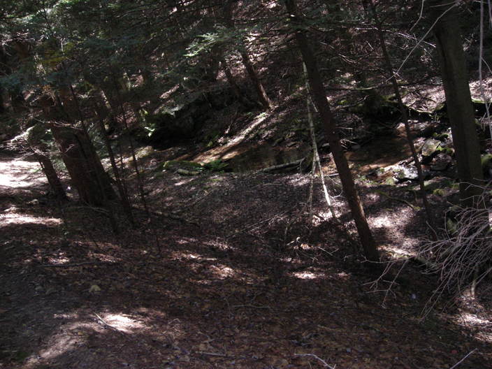
This is the first really scenic creek crossing on the Loyalsock Trail.
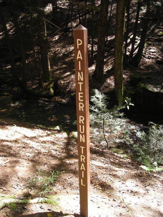
This stream is called Painter Run. It's a tributary of Little Bear Creek.
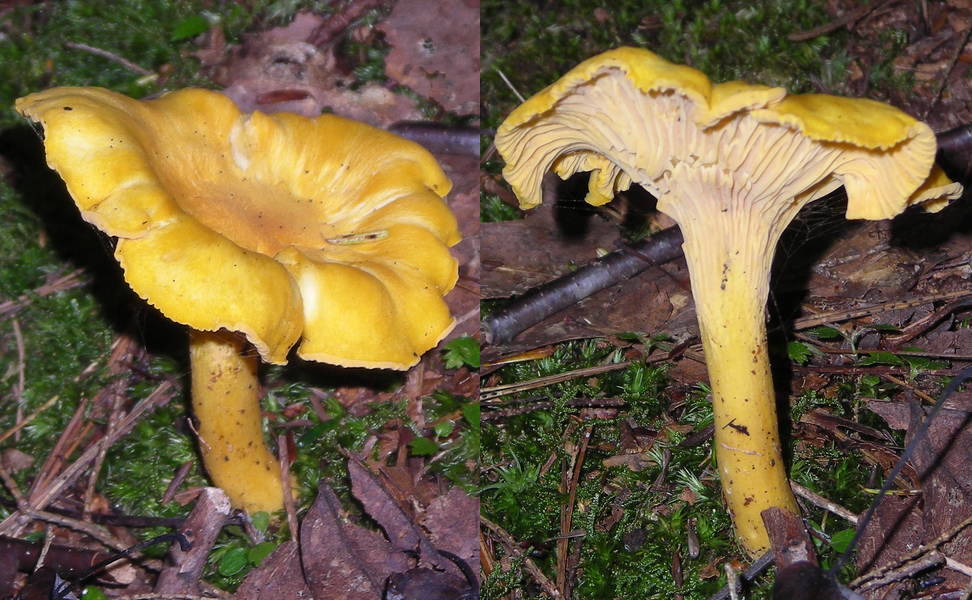
Another nice chanterelle specimen was growing near the bank.
The lighting by the stream was not great for pictures, or I would have more.
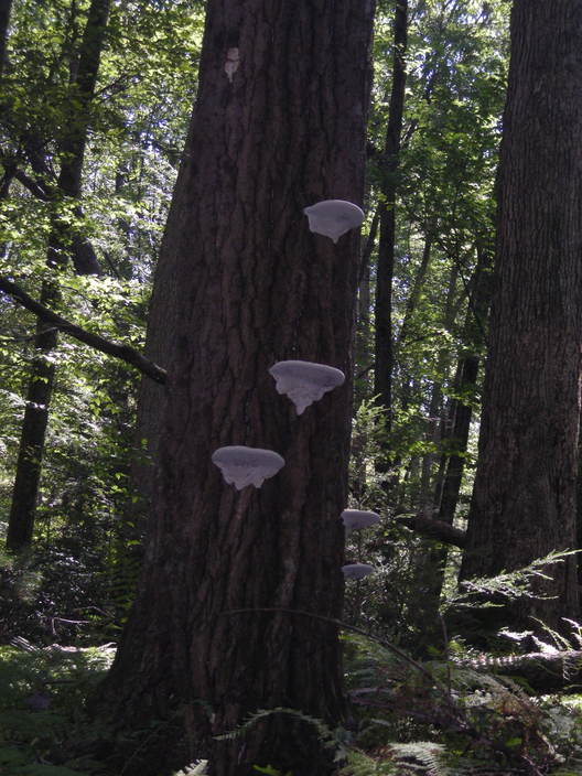
I found this tree a little way up the other bank. Those might be artist's conks. Next time I pass by I will get closer pictures.
The next mile marker is just a little further up.
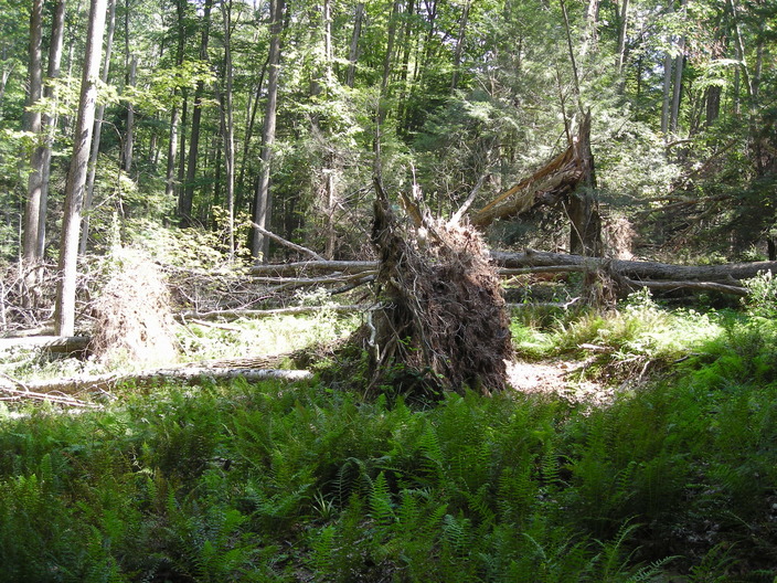
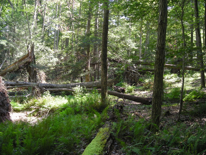
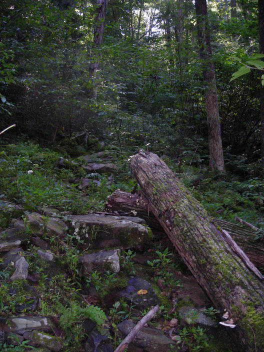
On this same slope, there was a place where eight or ten large trees had all fallen.
After climbing out of the Painter Run valley, the trail turns left onto a gravel road.
After a bend or two, it's back to a footpath. The terrain slopes upward around here, but shallowly.
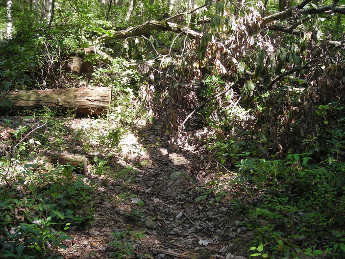
This tree had fallen across the trail. I had to scramble over it.
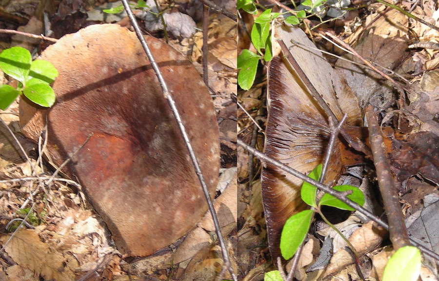
This particularly large mushroom had fallen over due to its own weight.
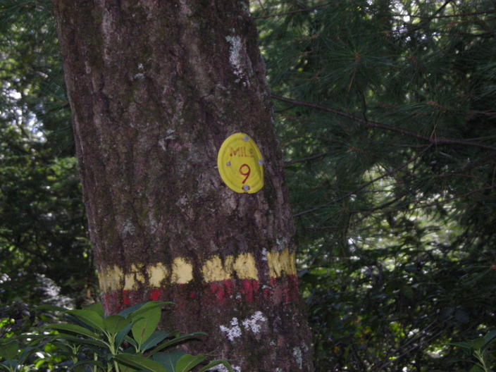
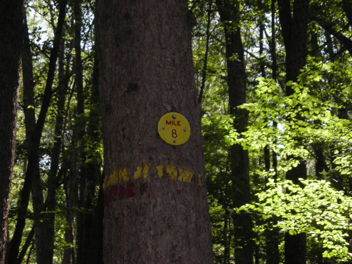
I turned around at the Mile 9 marker.
I had to take one last picture, because just after I turned around, I spotted these stinkhorns.
Total sightings: 1 millipede, 0 bears, 7 humans.